Area Overview for Earlston
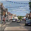
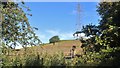
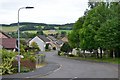
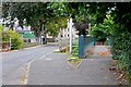
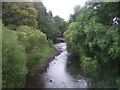
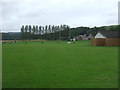
Photos of Earlston

Area Information
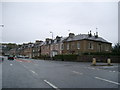
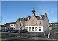
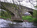
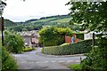
Earlston is a compact built-up area in Scotland, covering 80.6 hectares. Its size suggests a focused, tightly knit community, typical of smaller towns in the region. Located in the Scottish Borders, it sits near key transport links and local amenities that cater to both daily needs and regional connectivity. The area is served by two railway stations—Tweedbank and Galashiels—offering regular services to nearby towns and cities. Within walking or short driving distance, residents have access to five retail outlets, including Morrisons Daily and Co-op Melrose, ensuring convenience for grocery shopping. The Galashiels Transport Interchange further enhances mobility, linking the area to broader public transport networks. While specific population figures are not provided, the presence of multiple retail and transport hubs indicates a moderate population density, likely supporting a mix of local workers and commuters. Daily life in Earlston balances practicality with accessibility, making it suitable for those prioritising ease of movement and proximity to essential services.
- Area Type
- Built Up Area 250
- Area Size
- 80.6 hectares
- Population
- Not available
- Population Density
- Not available
Living in Earlston offers access to a range of local amenities within practical reach. The retail sector is well-represented, with five stores including Morrisons Daily, Co-op Melrose, and Spar Mmis, ensuring daily shopping needs are met. These shops likely serve both residents and nearby commuters, contributing to a convenient, self-contained local economy. While specific details on dining or leisure facilities are not provided, the presence of multiple retail outlets suggests a community-oriented environment. The proximity to railway stations and the Galashiels Transport Interchange further enhances accessibility to broader regional services. For residents seeking a balance between practicality and connectivity, Earlston’s amenities provide a functional base, though more detailed information on parks or recreational spaces would be needed to fully assess the area’s lifestyle offerings.
Amenities
Schools
| Rank | School | Type | Entry gender | Ages |
|---|
Explore more schools in this area
Go to Schools tabDemographics
Household Size
Accommodation Type
Tenure
Ethnic Group
Religion
Household Composition
Age
Household Deprivation
NS-SEC
Explore more demographic insights in this area
Go to Demographics tabPlanning
Planning Constraints
- Crime RiskPremium