Area Overview for EH25 9RG
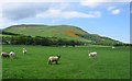
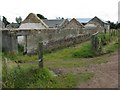
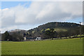
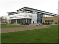
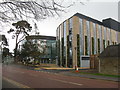
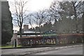
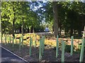
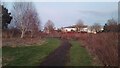
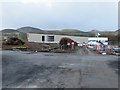
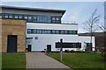
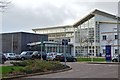
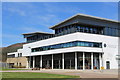
Photos of EH25 9RG
Area Information
EH25 9RG is a small residential postcode area in Scotland, covering 10.8 hectares and serving as a compact cluster of homes. Its size reflects a focused, community-oriented layout, ideal for those seeking a quiet yet connected living environment. The area benefits from strong digital connectivity, with a broadband score of 97, indicating excellent fixed-line internet access, and a mobile score of 84, which is good for most everyday needs. Nearby, residents have access to five retail outlets, including Aldi Pentland Road and Asda Straiton, alongside five railway stations such as Kingsknowe and Wester Hailes, providing easy links to Edinburgh and surrounding areas. The presence of metro stops like Murrayfield Stadium and Balgreen adds to the area’s accessibility. While the population size isn’t specified, the proximity to retail, transport, and leisure facilities suggests a mix of families and professionals seeking convenience without urban congestion. EH25 9RG is a practical choice for those prioritising reliability, connectivity, and proximity to key services.
- Area Type
- Postcode
- Area Size
- 10.8 hectares
- Population
- Not available
- Population Density
- Not available
House Prices in EH25 9RG
Showing 7 properties
Energy Efficiency in EH25 9RG
Living in EH25 9RG offers a blend of convenience and practicality. Nearby amenities include five retail outlets, such as Aldi Pentland Road and Asda Straiton, providing everyday shopping needs. The area’s railway stations—Kingsknowe, Slateford, and Wester Hailes—offer easy access to Edinburgh’s transport network, while metro stops like Balgreen and Murrayfield Stadium connect to major destinations. For leisure, the proximity to Murrayfield Stadium adds a dynamic element to the local scene. Although the data does not specify parks or dining options, the presence of multiple retail and transport hubs suggests a lifestyle focused on accessibility and efficiency. Residents can enjoy a straightforward daily routine, with services and connectivity supporting both professional and personal needs.
Amenities
Schools
| Rank | School | Type | Entry gender | Ages |
|---|
Explore more schools in this area
Go to Schools tabDemographics
Household Size
Accommodation Type
Tenure
Ethnic Group
Religion
Household Composition
Age
Household Deprivation
NS-SEC
Explore more demographic insights in this area
Go to Demographics tabPlanning
Planning Constraints
- Flood RiskPremium
- Ramsar Wetland SitesPremium
- Area of Outstanding Natural BeautyPremium
- Protected Nature ReservePremium
- Protected WoodlandPremium
- Crime RiskPremium