Area Overview for EH22 5JQ
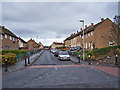
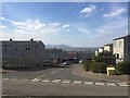
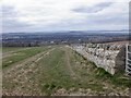
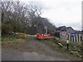
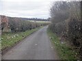
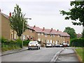
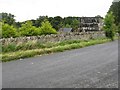
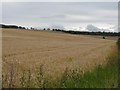
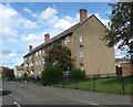
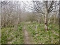
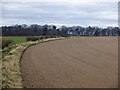
Photos of EH22 5JQ

Area Information
EH22 5JQ is a small, tightly knit residential postcode area in Scotland, characterised by its quiet, community-focused environment. Nestled in a region with minimal exposure to natural hazards, it offers a low flood risk and no encroachment from protected natural sites, ensuring a peaceful living experience. The area is served by five nearby railway stations, including Newtongrange, Eskbank, and Gorebridge, linking residents to broader transport networks. Digital connectivity is robust, with a broadband score of 93 and mobile coverage scoring 84, both indicating excellent reliability for remote work and daily internet use. This makes EH22 5JQ appealing to professionals and families seeking a balance between connectivity and tranquillity. While the area’s small size means it is not a hub for large-scale amenities, its proximity to essential retail services—such as Co-op Scotmid and Co-op Dalkeith—ensures convenience for everyday needs. The absence of major planning constraints or environmental restrictions further enhances its appeal as a stable, low-maintenance place to live.
- Area Type
- Postcode
- Area Size
- Not available
- Population
- Not available
- Population Density
- Not available
House Prices in EH22 5JQ
No properties found in this postcode.
Energy Efficiency in EH22 5JQ
Living in EH22 5JQ offers a blend of local convenience and quietude. The area is served by five retail outlets, including multiple Co-op Scotmid branches and Co-op Dalkeith, providing essential shopping options within easy reach. While the postcode does not have major leisure or dining venues, its proximity to rail stations allows residents to access larger towns for more diverse experiences. The absence of protected natural sites or planning constraints means the area is free from restrictive regulations, fostering a straightforward lifestyle. For those who value simplicity, the small-scale amenities and ease of access to transport make EH22 5JQ a practical choice. The lack of large-scale developments or environmental restrictions ensures a low-maintenance living experience, ideal for those seeking a stable, unobtrusive environment.
Amenities
Schools
| Rank | School | Type | Entry gender | Ages |
|---|
Explore more schools in this area
Go to Schools tabDemographics
Household Size
Accommodation Type
Tenure
Ethnic Group
Religion
Household Composition
Age
Household Deprivation
NS-SEC
Explore more demographic insights in this area
Go to Demographics tabPlanning
Planning Constraints
- Flood RiskPremium
- Ramsar Wetland SitesPremium
- Area of Outstanding Natural BeautyPremium
- Protected Nature ReservePremium
- Protected WoodlandPremium
- Crime RiskPremium