Area Overview for EH20 9PW
Photos of EH20 9PW
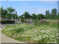
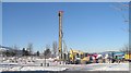
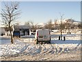
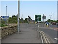
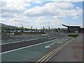
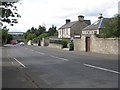
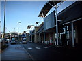
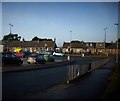
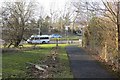
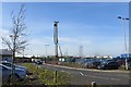
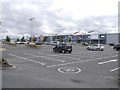
79 photos from this area
Area Information
Key information about the EH20 9PW including its size, population, and administrative classification.
- Area Type
- Postcode
- Area Size
- 12.3 hectares
- Population
- Not available
- Population Density
- Not available
House Prices in EH20 9PW
21
Properties
-
Average Sold Price
-
Lowest Price
-
Highest Price
Showing 21 properties
| Address | Type | Beds | Baths | Last Sale Price | Last Sale Date | |
|---|---|---|---|---|---|---|
| Pets At Home, Unit B, Straiton Mains, Loanhead, EH20 9PW | Retail | - | - | - | - | |
| Unit 6C, Straiton Mains, Loanhead, EH20 9PW | Retail | - | - | - | - | |
| World Of Sofas, Unit 5A, 18 Straiton Mains, Loanhead, EH20 9PW | shop | - | - | - | - | |
| Mcdonalds Resturants Ltd, Mcdonalds Restaurant, Straiton Mains, Loanhead, EH20 9PW | restaurant_cafe | - | - | - | - | |
| 2A Straiton Mains, Loanhead, EH20 9PW | Retail | - | - | - | - | |
| Dreams, Dreams Beds, 1B Straiton Mains, Loanhead, EH20 9PW | Retail | - | - | - | - | |
| Frankie And Bennys, 21 Straiton Mains, Loanhead, EH20 9PW | Restaurant | - | - | - | - | |
| Costa Coffee, 22 Straiton Park Way, Loanhead, EH20 9PW | Restaurant | - | - | - | - | |
| Tk Maxx, 1A Straiton Mains, Loanhead, EH20 9PW | Retail | - | - | - | - | |
| Jjb Sports Plc, Unit A, Straiton Mains, Loanhead, EH20 9PW | Retail | - | - | - | - |
Page 1 of 3
Energy Efficiency in EH20 9PW
Amenities
Schools
| Rank | School | Type | Entry gender | Ages |
|---|
Explore more schools in this area
Go to Schools tabDemographics
Household Size
N/A
most common
Accommodation Type
N/A
most common
Tenure
N/A
majority
Ethnic Group
N/A
most common
Religion
N/A
most common
Household Composition
N/A
most common
Age
N/A
median
N/A
most common
Household Deprivation
N/A
with no deprivation
NS-SEC
N/A
in Lower managerial occupations
Explore more demographic insights in this area
Go to Demographics tabPlanning
Planning Constraints
- Flood RiskPremium
- Ramsar Wetland SitesPremium
- Area of Outstanding Natural BeautyPremium
- Protected Nature ReservePremium
- Protected WoodlandPremium
- Crime RiskPremium