Area Overview for Cardross
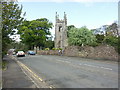
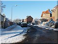
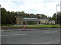
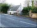
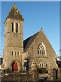
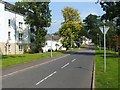
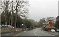
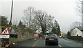
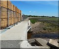
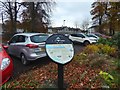
Photos of Cardross


Area Information
Cardross is a built-up area in Scotland covering 80.1 hectares, positioned as a small but functional town with a mix of residential and transport-oriented infrastructure. Its compact size means daily life is centred around a tight network of local amenities and connections to broader regional networks. The area is served by multiple railway stations, including Cardross, Woodhall, and Port Glasgow, which provide direct links to larger urban centres. Nearby ferry services at Greenock and Balloch offer access to both local and inter-island travel, reinforcing Cardross’s role as a gateway to the Clyde estuary. Retail options are modest but practical, with five notable stores including Co-op Main, Lidl Port, and Iceland Port, catering to everyday needs. While the population figures are not specified, the presence of these services suggests a community focused on accessibility and connectivity rather than large-scale commercial development. For those considering living in Cardross, the balance of local convenience and regional links offers a practical base for those prioritising transport options over sprawling urban sprawl.
- Area Type
- Built Up Area 250
- Area Size
- 80.1 hectares
- Population
- Not available
- Population Density
- Not available
Living in Cardross offers a blend of practical amenities that cater to daily life without the need for long commutes. The retail options include Co-op Main, Lidl Port, and Iceland Port, providing essentials like groceries and household goods. For transport, the area’s railway stations and ferry services ensure residents can reach larger cities or nearby islands with ease. While parks and leisure facilities are not detailed in the data, the presence of multiple transport hubs suggests a community that values mobility over large-scale recreational spaces. The ferry terminals at Greenock and Balloch also open up opportunities for leisure travel, whether for day trips or more extended excursions. Overall, the lifestyle in Cardross is defined by convenience and accessibility, with amenities arranged to serve a practical, commuter-focused population.
Amenities
Schools
| Rank | School | Type | Entry gender | Ages |
|---|
Explore more schools in this area
Go to Schools tabDemographics
Household Size
Accommodation Type
Tenure
Ethnic Group
Religion
Household Composition
Age
Household Deprivation
NS-SEC
Explore more demographic insights in this area
Go to Demographics tabPlanning
Planning Constraints
- Crime RiskPremium