Area Overview for TD15 2XN
Photos of TD15 2XN
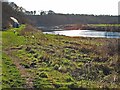
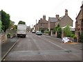
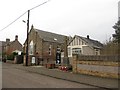
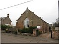
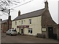
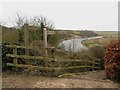
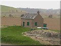
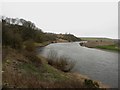
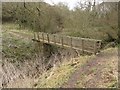
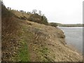
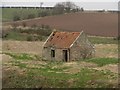
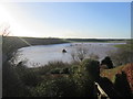
78 photos from this area
Area Information
Key information about the TD15 2XN including its size, population, and administrative classification.
- Area Type
- Postcode
- Area Size
- 60.9 hectares
- Population
- Not available
- Population Density
- Not available
House Prices in TD15 2XN
25
Properties
£230,508
Average Sold Price
£80,000
Lowest Price
£470,000
Highest Price
Showing 25 properties
| Address | Type | Beds | Baths | Last Sale Price | Last Sale Date | |
|---|---|---|---|---|---|---|
| Kelso Cottage, West End, Horncliffe, TD15 2XN | Cottage | 2 | 2 | £215,000 | Jul 2024 | |
| The Lees, West End, Horncliffe, TD15 2XN | Detached | 3 | 2 | £365,000 | May 2024 | |
| Wayside Cottage, West End, Horncliffe, TD15 2XN | Semi-detached | - | - | £152,500 | Dec 2023 | |
| Glen View, West End, Horncliffe, TD15 2XN | house | 3 | 1 | £223,000 | Apr 2023 | |
| Elphinstone, West End, Horncliffe, TD15 2XN | Bungalow | 4 | 3 | £470,000 | Oct 2022 | |
| Ladywell, West End, Horncliffe, TD15 2XN | Bungalow | - | - | £372,090 | Dec 2020 | |
| River View, West End, Horncliffe, TD15 2XN | house | - | - | £205,000 | Nov 2016 | |
| West View, West End, Horncliffe, TD15 2XN | house | - | - | £180,000 | Jun 2011 | |
| Bellevue, West End, Horncliffe, TD15 2XN | Detached | - | - | £80,000 | Feb 2008 | |
| Fernbank, West End, Horncliffe, TD15 2XN | Semi-detached | - | - | £123,000 | Sep 2006 |
Page 1 of 3
Energy Efficiency in TD15 2XN
Amenities
Schools
| Rank | School | Type | Entry gender | Ages |
|---|
Explore more schools in this area
Go to Schools tabDemographics
Household Size
N/A
most common
Accommodation Type
N/A
most common
Tenure
N/A
majority
Ethnic Group
N/A
most common
Religion
N/A
most common
Household Composition
N/A
most common
Age
N/A
median
N/A
most common
Household Deprivation
N/A
with no deprivation
NS-SEC
N/A
in Lower managerial occupations
Explore more demographic insights in this area
Go to Demographics tabPlanning
Planning Constraints
- Flood RiskPremium
- Ramsar Wetland SitesPremium
- Area of Outstanding Natural BeautyPremium
- Protected Nature ReservePremium
- Protected WoodlandPremium
- Crime RiskPremium