Area Overview for Airyhall/Broomhill/Garthdee Ward
Photos of Airyhall/Broomhill/Garthdee Ward
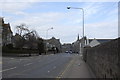
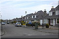
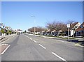
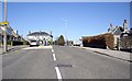
66 photos from this area
Area Information
Key information about the Airyhall/Broomhill/Garthdee Ward including its size, population, and administrative classification.
- Area Type
- District Borough Unitary Ward
- Area Size
- 4.0 km²
- Population
- Not available
- Population Density
- Not available
Demographics
Household Size
N/A
most common
Accommodation Type
N/A
most common
Tenure
N/A
majority
Ethnic Group
N/A
most common
Religion
N/A
most common
Household Composition
N/A
most common
Age
N/A
median
N/A
most common
Household Deprivation
N/A
with no deprivation
NS-SEC
N/A
in Lower managerial occupations
Explore more demographic insights in this area
Go to Demographics tabPlanning
Planning Constraints
- Flood RiskLocked
- Ramsar Wetland SitesLocked
- Area of Outstanding Natural BeautyLocked
- Protected Nature ReserveLocked
- Crime RiskLocked