Area Overview for Aberdeen City
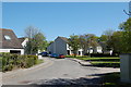
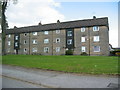
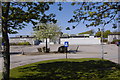
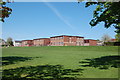
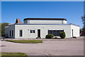
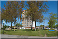
Photos of Aberdeen City
Area Information
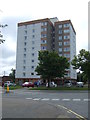
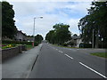
Aberdeen City stands as a significant urban centre and port city in the north east of Scotland. This local authority district serves a population of almost 230,000 residents within an area spanning 205.7 km². The Council area administers the burgh of Aberdeen along with surrounding areas that extend into historic Aberdeenshire and a small portion of Kincardineshire. Locals often refer to this location as the Granite City due to its distinctive grey stone architecture. The first burgh, known as Old Aberdeen, gained official city status after its boundaries were enlarged in 1891. Modern governance operates under Aberdeen City Council, which manages services across this diverse geographic footprint. Daily life here centres around a major hub for the North Sea oil and gas industry, higher education, and cultural life. The area functions as a key economic driver while maintaining deep historical roots dating back to a Royal Charter from 1214. Residents enjoy proximity to significant educational institutions and industrial infrastructure. The urban landscape blends historic buildings with modern developments necessary to support its role as a regional headquarters. Living in Aberdeen City offers direct access to essential services provided by the local authority. You will find a mix of urban density and semi-ruralElements depend on your specific locality within the 205.7 square kilometre boundary. The city remains a primary destination for those seeking employment in the energy sector or academic research roles.
- Area Type
- District/Borough
- Area Size
- 205.7 km²
- Population
- Not available
- Population Density
- Not available
Demographics
The community in Aberdeen City reflects the economic nature of the Granite City. Almost 230,000 residents call this district home, making it one of Scotland's 32 councils. The area hosts a large proportion of households where the main worker is employed in finance, business, or oil and gas sectors. Income levels vary significantly between different localities within the administrative boundary. Around 65 per cent of households have a main worker in these high-value industries. This economic profile influences the purchasing power and lifestyle choices of residents across the city. You will find a substantial population aged 30 or over who typically hold professional qualifications. The average age in Aberdeen City reflects this mature workforce, though specific figures vary by neighbourhood. A significant portion of residents work in education, which ties into the presence of major universities in the region. The working-age population represents the largest demographic group in the area. Many residents work in professional occupations related to the local energy sector or public services provided by Aberdeen City Council. The household composition includes numerous couples and single professionals navigating a competitive job market. Diversity exists within a largely homogenous ethnic landscape, mirroring the national profile of the region. Residents generally maintain stable employment, supported by the strong industrial base that defines the local economy.
Household Size
Accommodation Type
Tenure
Ethnic Group
Religion
Household Composition
Age
Household Deprivation
NS-SEC
Explore more demographic insights in this area
Go to Demographics tabPlanning
Planning Constraints
- Flood RiskPremium
- Ramsar Wetland SitesPremium
- Area of Outstanding Natural BeautyPremium
- Protected Nature ReservePremium
- Protected WoodlandPremium
- Crime RiskPremium