Area Overview for YO8 3TP
Photos of YO8 3TP

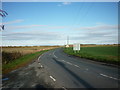
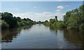
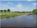
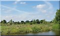
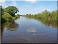
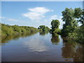
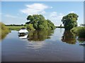
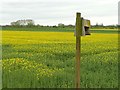
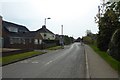
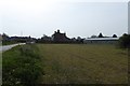
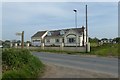
37 photos from this area
Area Information
Key information about the YO8 3TP including its size, population, and administrative classification.
- Area Type
- Postcode
- Area Size
- 19.9 hectares
- Population
- 1437
- Population Density
- 76 people/km²
House Prices in YO8 3TP
49
Properties
£210,962
Average Sold Price
£40,000
Lowest Price
£685,000
Highest Price
Showing 49 properties
| Address | Type | Beds | Baths | Last Sale Price | Last Sale Date | |
|---|---|---|---|---|---|---|
| Riverside House, 38B Rythergate, Cawood, YO8 3TP | Detached | 5 | 4 | £685,000 | Aug 2025 | |
| 24 Rythergate, Cawood, YO8 3TP | Terraced | 2 | 1 | £123,749 | Jun 2025 | |
| 11 Rythergate, Cawood, YO8 3TP | Terraced | 3 | 1 | £160,000 | Dec 2023 | |
| 7 Rythergate, Cawood, YO8 3TP | Terraced | 2 | 1 | £145,000 | Jun 2022 | |
| 48 Rythergate, Cawood, YO8 3TP | Terraced | 3 | 2 | £270,000 | Feb 2022 | |
| Old Landings, 12 Rythergate, Cawood, YO8 3TP | house | - | - | £455,000 | Dec 2021 | |
| 10 Rythergate, Cawood, YO8 3TP | house | 3 | 2 | £315,000 | Jul 2020 | |
| 33 Rythergate, Cawood, YO8 3TP | Cottage | 2 | 1 | £115,000 | Jun 2019 | |
| 17 Rythergate, Cawood, YO8 3TP | Detached | 3 | 2 | £249,995 | Dec 2017 | |
| The Barn, Rythergate, Cawood, YO8 3TP | Semi-detached | 4 | 3 | £315,000 | Sep 2016 |
Page 1 of 5
Energy Efficiency in YO8 3TP
Amenities
Schools
| Rank | School | Type | Entry gender | Ages |
|---|
Explore more schools in this area
Go to Schools tabDemographics
Household Size
Two person
most common
Accommodation Type
Houses
most common
Tenure
71
majority
Ethnic Group
White
most common
Religion
N/A
most common
Household Composition
N/A
most common
Age
47
median
Adults (30-64 years)
most common
Household Deprivation
N/A
with no deprivation
NS-SEC
39
in Lower managerial occupations
Explore more demographic insights in this area
Go to Demographics tabPlanning
Planning Constraints
- Flood RiskPremium
- Ramsar Wetland SitesPremium
- Area of Outstanding Natural BeautyPremium
- Protected Nature ReservePremium
- Protected WoodlandPremium