Area Overview for YO31 1HE
Photos of YO31 1HE
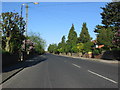
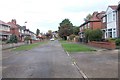
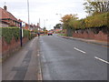
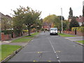
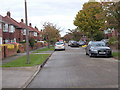
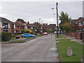
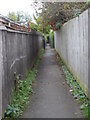
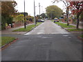
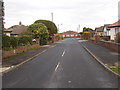
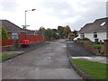
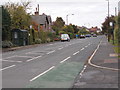
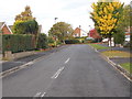
73 photos from this area
Area Information
Key information about the YO31 1HE including its size, population, and administrative classification.
- Area Type
- Postcode
- Area Size
- 6660 m²
- Population
- 1009
- Population Density
- 330 people/km²
House Prices in YO31 1HE
17
Properties
£179,132
Average Sold Price
£69,950
Lowest Price
£324,000
Highest Price
Showing 17 properties
| Address | Type | Beds | Baths | Last Sale Price | Last Sale Date | |
|---|---|---|---|---|---|---|
| 11 Ash Close, York, YO31 1HE | Semi-detached | 3 | 2 | £324,000 | Jun 2024 | |
| 2 Ash Close, York, YO31 1HE | Bungalow | - | - | £275,000 | May 2023 | |
| 16 Ash Close, York, YO31 1HE | Semi-detached | 2 | 1 | £251,000 | Jun 2021 | |
| 3 Ash Close, York, YO31 1HE | Semi-detached | 2 | 1 | £187,500 | May 2018 | |
| 5 Ash Close, York, YO31 1HE | Bungalow | 2 | 1 | £175,000 | Sep 2014 | |
| 9 Ash Close, York, YO31 1HE | Semi-detached | 2 | 1 | £147,000 | Apr 2013 | |
| 12 Ash Close, York, YO31 1HE | Bungalow | - | - | £148,000 | Feb 2013 | |
| 8 Ash Close, York, YO31 1HE | Semi-detached | - | - | £172,500 | Oct 2004 | |
| 13 Ash Close, York, YO31 1HE | Semi-detached | 2 | 1 | £125,500 | Aug 2003 | |
| 14 Ash Close, York, YO31 1HE | Semi-detached | - | - | £95,000 | May 2002 |
Page 1 of 2
Energy Efficiency in YO31 1HE
Amenities
Schools
| Rank | School | Type | Entry gender | Ages |
|---|
Explore more schools in this area
Go to Schools tabDemographics
Household Size
Two person
most common
Accommodation Type
Houses
most common
Tenure
87
majority
Ethnic Group
White
most common
Religion
N/A
most common
Household Composition
N/A
most common
Age
47
median
Adults (30-64 years)
most common
Household Deprivation
N/A
with no deprivation
NS-SEC
34
in Lower managerial occupations
Explore more demographic insights in this area
Go to Demographics tabPlanning
Planning Constraints
- Flood RiskPremium
- Ramsar Wetland SitesPremium
- Area of Outstanding Natural BeautyPremium
- Protected Nature ReservePremium
- Protected WoodlandPremium