Area Overview for YO31 1HA
Photos of YO31 1HA
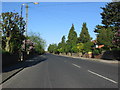
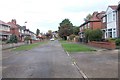
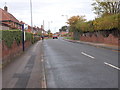
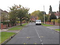
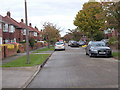
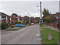
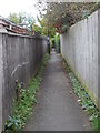
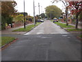
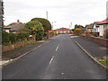
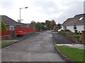
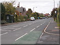
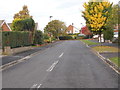
73 photos from this area
Area Information
Key information about the YO31 1HA including its size, population, and administrative classification.
- Area Type
- Postcode
- Area Size
- 8465 m²
- Population
- 1547
- Population Density
- 2580 people/km²
House Prices in YO31 1HA
11
Properties
£301,750
Average Sold Price
£125,000
Lowest Price
£563,500
Highest Price
Showing 11 properties
| Address | Type | Beds | Baths | Last Sale Price | Last Sale Date | |
|---|---|---|---|---|---|---|
| 2 Algarth Road, York, YO31 1HA | Bungalow | 2 | 2 | £563,500 | Jan 2023 | |
| 8 Algarth Road, York, YO31 1HA | Detached | 4 | 3 | £475,000 | May 2022 | |
| 18 Algarth Road, York, YO31 1HA | Bungalow | - | - | £475,000 | Mar 2021 | |
| 4 Algarth Road, York, YO31 1HA | Bungalow | - | - | £285,000 | Sep 2015 | |
| 10 Algarth Road, York, YO31 1HA | Bungalow | - | - | £275,000 | Aug 2011 | |
| 20 Algarth Road, York, YO31 1HA | Detached | 3 | 2 | £161,000 | Aug 2010 | |
| 22 Algarth Road, York, YO31 1HA | Detached | - | - | £175,000 | Mar 2009 | |
| 6 Algarth Road, York, YO31 1HA | Bungalow | 5 | - | £330,000 | Oct 2005 | |
| 16 Algarth Road, York, YO31 1HA | Detached | 3 | 2 | £153,000 | Jan 2000 | |
| 14 Algarth Road, York, YO31 1HA | Detached | - | - | £125,000 | Jun 1995 |
Page 1 of 2
Energy Efficiency in YO31 1HA
Amenities
Schools
| Rank | School | Type | Entry gender | Ages |
|---|
Explore more schools in this area
Go to Schools tabDemographics
Household Size
Two person
most common
Accommodation Type
Houses
most common
Tenure
93
majority
Ethnic Group
White
most common
Religion
N/A
most common
Household Composition
N/A
most common
Age
47
median
Adults (30-64 years)
most common
Household Deprivation
N/A
with no deprivation
NS-SEC
48
in Lower managerial occupations
Explore more demographic insights in this area
Go to Demographics tabPlanning
Planning Constraints
- Flood RiskPremium
- Ramsar Wetland SitesPremium
- Area of Outstanding Natural BeautyPremium
- Protected Nature ReservePremium
- Protected WoodlandPremium