Area Overview for YO21 3SX
Photos of YO21 3SX
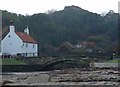
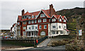
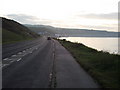
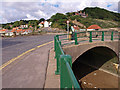
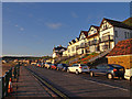
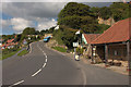
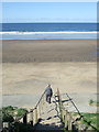
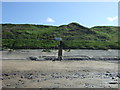
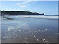
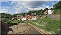
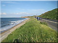
100 photos from this area
Area Information
Key information about the YO21 3SX including its size, population, and administrative classification.
- Area Type
- Postcode
- Area Size
- 16.2 hectares
- Population
- 1285
- Population Density
- 21 people/km²
House Prices in YO21 3SX
41
Properties
£393,250
Average Sold Price
£79,000
Lowest Price
£895,000
Highest Price
Showing 41 properties
| Address | Type | Beds | Baths | Last Sale Price | Last Sale Date | |
|---|---|---|---|---|---|---|
| 16 Meadowfields, Sandsend, Whitby, YO21 3SX | house | 4 | 3 | £895,000 | Aug 2024 | |
| 26 Meadowfields, Sandsend, Whitby, YO21 3SX | house | - | - | £675,000 | Jan 2023 | |
| 34 Meadowfields, Sandsend, Whitby, YO21 3SX | house | - | - | £455,000 | Nov 2021 | |
| 24 Meadowfields, Sandsend, Whitby, YO21 3SX | house | - | - | £566,000 | Oct 2020 | |
| 28 Meadowfields, Sandsend, Whitby, YO21 3SX | house | - | - | £290,000 | Nov 2018 | |
| 42 Meadowfields, Sandsend, Whitby, YO21 3SX | Detached | 5 | 5 | £825,000 | May 2018 | |
| 22 Meadowfields, Sandsend, Whitby, YO21 3SX | house | - | - | £412,000 | Dec 2016 | |
| 32 Meadowfields, Sandsend, Whitby, YO21 3SX | house | - | - | £303,000 | Nov 2015 | |
| 30 Meadowfields, Sandsend, Whitby, YO21 3SX | Terraced | - | - | £310,000 | Oct 2015 | |
| 21 Meadowfields, Sandsend, Whitby, YO21 3SX | Detached | - | - | £420,000 | Oct 2015 |
Page 1 of 5
Energy Efficiency in YO21 3SX
Amenities
Schools
| Rank | School | Type | Entry gender | Ages |
|---|
Explore more schools in this area
Go to Schools tabDemographics
Household Size
Two person
most common
Accommodation Type
Houses
most common
Tenure
63
majority
Ethnic Group
White
most common
Religion
N/A
most common
Household Composition
N/A
most common
Age
47
median
Adults (30-64 years)
most common
Household Deprivation
N/A
with no deprivation
NS-SEC
32
in Lower managerial occupations
Explore more demographic insights in this area
Go to Demographics tabPlanning
Planning Constraints
- Flood RiskPremium
- Ramsar Wetland SitesPremium
- Area of Outstanding Natural BeautyPremium
- Protected Nature ReservePremium
- Protected WoodlandPremium