Area Overview for YO18 7RW
Photos of YO18 7RW
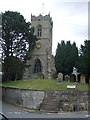
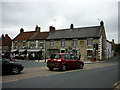
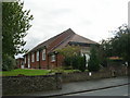
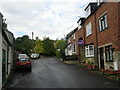
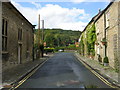
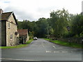
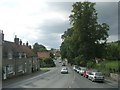
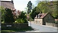
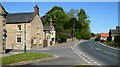
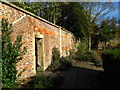
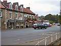
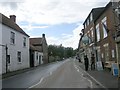
100 photos from this area
Area Information
Key information about the YO18 7RW including its size, population, and administrative classification.
- Area Type
- Postcode
- Area Size
- 5119 m²
- Population
- 1615
- Population Density
- 11 people/km²
House Prices in YO18 7RW
9
Properties
£392,500
Average Sold Price
£320,000
Lowest Price
£465,000
Highest Price
Showing 9 properties
| Address | Type | Beds | Baths | Last Sale Price | Last Sale Date | |
|---|---|---|---|---|---|---|
| The Olde School, Chestnut Avenue, Thornton Le Dale, YO18 7RW | house | - | - | £465,000 | Nov 2021 | |
| Kingfisher Cottage, Chestnut Avenue, Thornton Le Dale, YO18 7RW | Cottage | 3 | 2 | £320,000 | Oct 2009 | |
| School House, Chestnut Avenue, Thornton Le Dale, YO18 7RW | house | 2 | 1 | - | - | |
| Buck Hotel (flat), Chestnut Avenue, Thornton Le Dale, YO18 7RW | Flat | 2 | - | - | - | |
| Thorpe Cottage, Chestnut Avenue, Thornton Le Dale, YO18 7RW | Terraced | - | - | - | - | |
| Pond View Flat, Maltongate, Thornton Le Dale, YO18 7RW | Maisonette | - | - | - | - | |
| Snack Bar, Chestnut Avenue, Thornton Le Dale, YO18 7RW | Restaurant | - | - | - | - | |
| Buck Hotel, Chestnut Avenue, Thornton Le Dale, YO18 7RW | hotel | - | - | - | - | |
| Crumbs Of Comfort, Maltongate, Thornton Le Dale, YO18 7RW | shop | - | - | - | - |
Energy Efficiency in YO18 7RW
Amenities
Schools
| Rank | School | Type | Entry gender | Ages |
|---|
Explore more schools in this area
Go to Schools tabDemographics
Household Size
Two person
most common
Accommodation Type
Houses
most common
Tenure
76
majority
Ethnic Group
White
most common
Religion
N/A
most common
Household Composition
N/A
most common
Age
47
median
Adults (30-64 years)
most common
Household Deprivation
N/A
with no deprivation
NS-SEC
37
in Lower managerial occupations
Explore more demographic insights in this area
Go to Demographics tabPlanning
Planning Constraints
- Flood RiskPremium
- Ramsar Wetland SitesPremium
- Area of Outstanding Natural BeautyPremium
- Protected Nature ReservePremium
- Protected WoodlandPremium