Area Overview for YO18 7RR
Photos of YO18 7RR
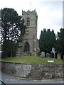
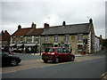
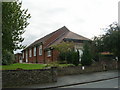
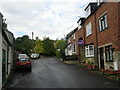
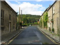
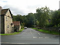
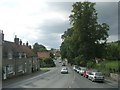
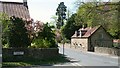
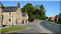
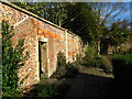
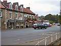
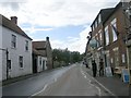
100 photos from this area
Area Information
Key information about the YO18 7RR including its size, population, and administrative classification.
- Area Type
- Postcode
- Area Size
- 3.2 hectares
- Population
- 1742
- Population Density
- 57 people/km²
House Prices in YO18 7RR
8
Properties
£5,763,511
Average Sold Price
£5,763,511
Lowest Price
£5,763,511
Highest Price
Showing 8 properties
| Address | Type | Beds | Baths | Last Sale Price | Last Sale Date | |
|---|---|---|---|---|---|---|
| The Hall, Church Hill, Thornton Le Dale, YO18 7RR | Retirement | - | - | £5,763,511 | Mar 2023 | |
| Bridgefoot House, Chestnut Avenue, Thornton Le Dale, YO18 7RR | Detached | 8 | 9 | - | - | |
| The Hall Residential Home, Church Hill, Thornton Le Dale, YO18 7RR | hospital_care_home | - | - | - | - | |
| Pot Doodles At The Old Stables, Church Hill, Thornton Le Dale, YO18 7RR | Industrial | - | - | - | - | |
| Thornton Le Dale Squash Courts, Dog Kennel Lane, Thornton Le Dale, YO18 7RR | Leisure | - | - | - | - | |
| Staff Flat, The Hall, Church Hill, Thornton Le Dale, YO18 7RR | Flat | - | - | - | - | |
| Stable Flat, The Hall, Church Hill, Thornton Le Dale, YO18 7RR | Flat | - | - | - | - | |
| Thornton Le Dale Arts And Crafts, Church Hill, Thornton Le Dale, YO18 7RR | Industrial | - | - | - | - |
Energy Efficiency in YO18 7RR
Amenities
Schools
| Rank | School | Type | Entry gender | Ages |
|---|
Explore more schools in this area
Go to Schools tabDemographics
Household Size
Two person
most common
Accommodation Type
Houses
most common
Tenure
79
majority
Ethnic Group
White
most common
Religion
N/A
most common
Household Composition
N/A
most common
Age
47
median
Elderly (65+ years)
most common
Household Deprivation
N/A
with no deprivation
NS-SEC
38
in Lower managerial occupations
Explore more demographic insights in this area
Go to Demographics tabPlanning
Planning Constraints
- Flood RiskPremium
- Ramsar Wetland SitesPremium
- Area of Outstanding Natural BeautyPremium
- Protected Nature ReservePremium
- Protected WoodlandPremium