Area Overview for YO18 7LE
Photos of YO18 7LE
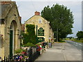
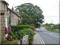
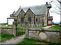
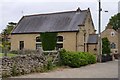
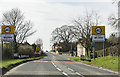

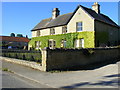
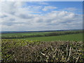
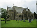
19 photos from this area
Area Information
Key information about the YO18 7LE including its size, population, and administrative classification.
- Area Type
- Postcode
- Area Size
- 77.3 hectares
- Population
- 1615
- Population Density
- 11 people/km²
House Prices in YO18 7LE
33
Properties
£346,000
Average Sold Price
£98,000
Lowest Price
£855,000
Highest Price
Showing 33 properties
| Address | Type | Beds | Baths | Last Sale Price | Last Sale Date | |
|---|---|---|---|---|---|---|
| Corner House, High Street, Wilton, YO18 7LE | house | - | - | £435,000 | Jul 2024 | |
| The Laurels, High Street, Wilton, YO18 7LE | house | - | - | £450,000 | Jun 2024 | |
| Holme Lea, High Street, Wilton, YO18 7LE | Bungalow | 4 | 2 | £340,000 | Nov 2023 | |
| Fern Cottage, High Street, Wilton, YO18 7LE | Cottage | 3 | 1 | £225,000 | Sep 2022 | |
| Manor Farm, High Street, Wilton, YO18 7LE | Detached | 5 | 2 | £855,000 | Jul 2022 | |
| Church Farm, Cliff Lane, Wilton, YO18 7LE | house | - | - | £430,000 | Jun 2021 | |
| Hill View, Cliff Lane, Wilton, YO18 7LE | Bungalow | 3 | 1 | £275,000 | Jun 2021 | |
| Greenhow, Cliff Lane, Wilton, YO18 7LE | Bungalow | 2 | 1 | £370,000 | Sep 2019 | |
| Pear Tree House, Cliff Lane, Wilton, YO18 7LE | house | - | - | £200,000 | May 2018 | |
| Rose Cottage, High Street, Wilton, YO18 7LE | house | 3 | 1 | £265,000 | Nov 2015 |
Page 1 of 4
Energy Efficiency in YO18 7LE
Amenities
Schools
| Rank | School | Type | Entry gender | Ages |
|---|
Explore more schools in this area
Go to Schools tabDemographics
Household Size
Two person
most common
Accommodation Type
Houses
most common
Tenure
76
majority
Ethnic Group
White
most common
Religion
N/A
most common
Household Composition
N/A
most common
Age
47
median
Adults (30-64 years)
most common
Household Deprivation
N/A
with no deprivation
NS-SEC
37
in Lower managerial occupations
Explore more demographic insights in this area
Go to Demographics tabPlanning
Planning Constraints
- Flood RiskPremium
- Ramsar Wetland SitesPremium
- Area of Outstanding Natural BeautyPremium
- Protected Nature ReservePremium
- Protected WoodlandPremium