Area Overview for YO18 7BH
Photos of YO18 7BH
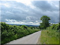
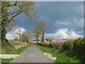
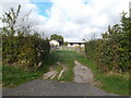
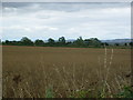
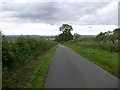
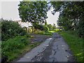
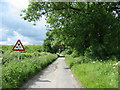
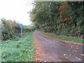
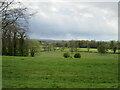
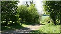
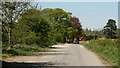
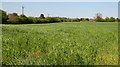
17 photos from this area
Area Information
Key information about the YO18 7BH including its size, population, and administrative classification.
- Area Type
- Postcode
- Area Size
- 1.1 km²
- Population
- 1742
- Population Density
- 57 people/km²
House Prices in YO18 7BH
26
Properties
£404,689
Average Sold Price
£93,551
Lowest Price
£637,200
Highest Price
Showing 26 properties
| Address | Type | Beds | Baths | Last Sale Price | Last Sale Date | |
|---|---|---|---|---|---|---|
| 8 The View, Thornton Le Dale, YO18 7BH | house | - | - | £537,500 | Feb 2024 | |
| 16 The View, Thornton Le Dale, YO18 7BH | house | - | - | £475,000 | Sep 2023 | |
| 3 The View, Thornton Le Dale, YO18 7BH | house | - | - | £122,500 | Jul 2022 | |
| 17 The View, Thornton Le Dale, YO18 7BH | house | - | - | £432,500 | Mar 2021 | |
| 26 The View, Thornton Le Dale, YO18 7BH | house | - | - | £582,500 | Nov 2020 | |
| 14 The View, Thornton Le Dale, YO18 7BH | house | - | - | £405,000 | Dec 2019 | |
| 18 The View, Thornton Le Dale, YO18 7BH | house | - | - | £520,000 | Sep 2019 | |
| 15 The View, Thornton Le Dale, YO18 7BH | house | - | - | £425,000 | Jul 2019 | |
| 2 The View, Thornton Le Dale, YO18 7BH | Retail | 4 | 3 | £142,000 | Jun 2019 | |
| 5 The View, Thornton Le Dale, YO18 7BH | house | - | - | £93,551 | May 2019 |
Page 1 of 3
Energy Efficiency in YO18 7BH
Amenities
Schools
| Rank | School | Type | Entry gender | Ages |
|---|
Explore more schools in this area
Go to Schools tabDemographics
Household Size
Two person
most common
Accommodation Type
Houses
most common
Tenure
79
majority
Ethnic Group
White
most common
Religion
N/A
most common
Household Composition
N/A
most common
Age
47
median
Elderly (65+ years)
most common
Household Deprivation
N/A
with no deprivation
NS-SEC
38
in Lower managerial occupations
Explore more demographic insights in this area
Go to Demographics tabPlanning
Planning Constraints
- Flood RiskPremium
- Ramsar Wetland SitesPremium
- Area of Outstanding Natural BeautyPremium
- Protected Nature ReservePremium
- Protected WoodlandPremium