Area Overview for YO18 7HT
Photos of YO18 7HT
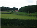
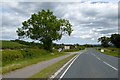
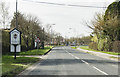
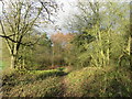
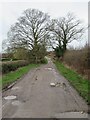
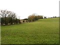
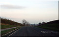
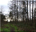
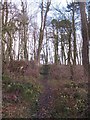
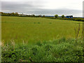
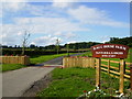
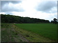
17 photos from this area
Area Information
Key information about the YO18 7HT including its size, population, and administrative classification.
- Area Type
- Postcode
- Area Size
- 48.2 hectares
- Population
- 2227
- Population Density
- 481 people/km²
House Prices in YO18 7HT
31
Properties
£305,700
Average Sold Price
£75,000
Lowest Price
£562,500
Highest Price
Showing 31 properties
| Address | Type | Beds | Baths | Last Sale Price | Last Sale Date | |
|---|---|---|---|---|---|---|
| Burlington, 107 Ruffa Lane, Pickering, YO18 7HT | Semi-detached | 2 | 1 | £250,000 | Nov 2022 | |
| 109 Ruffa Lane, Pickering, YO18 7HT | house | - | - | £206,000 | Oct 2022 | |
| 74 Ruffa Lane, Pickering, YO18 7HT | house | - | - | £562,500 | Jan 2021 | |
| 78 Ruffa Lane, Pickering, YO18 7HT | Detached | 5 | - | £405,000 | Jul 2020 | |
| Greenfields, 83 Ruffa Lane, Pickering, YO18 7HT | Detached | 5 | 2 | £200,000 | Nov 2019 | |
| 103 Ruffa Lane, Pickering, YO18 7HT | Semi-detached | 4 | 1 | £225,000 | Nov 2018 | |
| 72 Ruffa Lane, Pickering, YO18 7HT | Detached | 5 | - | £455,000 | Sep 2016 | |
| Woldsmoor House, 80 Ruffa Lane, Pickering, YO18 7HT | house | - | - | £377,500 | Jan 2015 | |
| The House That Jack Built, 93 Ruffa Lane, Pickering, YO18 7HT | Detached | 5 | - | £400,000 | Sep 2012 | |
| 105 Ruffa Lane, Pickering, YO18 7HT | Bungalow | - | - | £175,000 | Jul 2012 |
Page 1 of 4
Energy Efficiency in YO18 7HT
Amenities
Schools
| Rank | School | Type | Entry gender | Ages |
|---|
Explore more schools in this area
Go to Schools tabDemographics
Household Size
Two person
most common
Accommodation Type
Houses
most common
Tenure
75
majority
Ethnic Group
White
most common
Religion
N/A
most common
Household Composition
N/A
most common
Age
47
median
Elderly (65+ years)
most common
Household Deprivation
N/A
with no deprivation
NS-SEC
36
in Lower managerial occupations
Explore more demographic insights in this area
Go to Demographics tabPlanning
Planning Constraints
- Flood RiskPremium
- Ramsar Wetland SitesPremium
- Area of Outstanding Natural BeautyPremium
- Protected Nature ReservePremium
- Protected WoodlandPremium