Area Overview for YO18 7HN
Photos of YO18 7HN
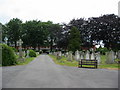
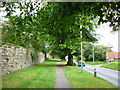
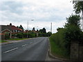
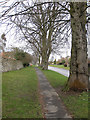
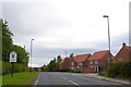
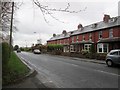
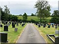
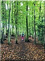
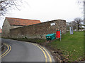
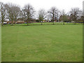
23 photos from this area
Area Information
Key information about the YO18 7HN including its size, population, and administrative classification.
- Area Type
- Postcode
- Area Size
- 12.0 hectares
- Population
- 2227
- Population Density
- 481 people/km²
House Prices in YO18 7HN
60
Properties
£222,875
Average Sold Price
£45,000
Lowest Price
£495,000
Highest Price
Showing 60 properties
| Address | Type | Beds | Baths | Last Sale Price | Last Sale Date | |
|---|---|---|---|---|---|---|
| 25 Ruffa Lane, Pickering, YO18 7HN | Terraced | 3 | 1 | £217,000 | Aug 2024 | |
| 32 Ruffa Lane, Pickering, YO18 7HN | Bungalow | 2 | 2 | £243,000 | Mar 2024 | |
| 31 Ruffa Lane, Pickering, YO18 7HN | house | - | - | £220,000 | Apr 2023 | |
| Croft Cottage, 55 Ruffa Lane, Pickering, YO18 7HN | house | 2 | - | £292,500 | Mar 2023 | |
| 28 Ruffa Lane, Pickering, YO18 7HN | Bungalow | 2 | 1 | £235,000 | Feb 2023 | |
| 44 Ruffa Lane, Pickering, YO18 7HN | house | - | - | £475,000 | Jan 2022 | |
| Norwood, 48 Ruffa Lane, Pickering, YO18 7HN | house | - | - | £326,000 | Sep 2021 | |
| 65 Ruffa Lane, Pickering, YO18 7HN | Detached | 4 | - | £370,000 | Sep 2021 | |
| High Croft House, 52 Ruffa Lane, Pickering, YO18 7HN | Detached | 5 | - | £495,000 | Dec 2020 | |
| 41 Ruffa Lane, Pickering, YO18 7HN | house | - | - | £335,000 | Dec 2020 |
Page 1 of 6
Energy Efficiency in YO18 7HN
Amenities
Schools
| Rank | School | Type | Entry gender | Ages |
|---|
Explore more schools in this area
Go to Schools tabDemographics
Household Size
Two person
most common
Accommodation Type
Houses
most common
Tenure
75
majority
Ethnic Group
White
most common
Religion
N/A
most common
Household Composition
N/A
most common
Age
47
median
Elderly (65+ years)
most common
Household Deprivation
N/A
with no deprivation
NS-SEC
36
in Lower managerial occupations
Explore more demographic insights in this area
Go to Demographics tabPlanning
Planning Constraints
- Flood RiskPremium
- Ramsar Wetland SitesPremium
- Area of Outstanding Natural BeautyPremium
- Protected Nature ReservePremium
- Protected WoodlandPremium