Area Overview for WF5 9DW
Photos of WF5 9DW


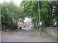
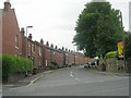

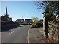
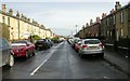

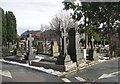
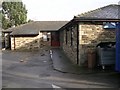
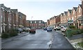
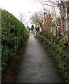
100 photos from this area
Area Information
Key information about the WF5 9DW including its size, population, and administrative classification.
- Area Type
- Postcode
- Area Size
- 8599 m²
- Population
- 1833
- Population Density
- 541 people/km²
House Prices in WF5 9DW
10
Properties
£185,000
Average Sold Price
£81,000
Lowest Price
£415,000
Highest Price
Showing 10 properties
| Address | Type | Beds | Baths | Last Sale Price | Last Sale Date | |
|---|---|---|---|---|---|---|
| 37 Church Street, Ossett, WF5 9DW | Detached | 4 | 3 | £415,000 | Aug 2025 | |
| 41 Church Street, Ossett, WF5 9DW | Cottage | 3 | 1 | £136,000 | Feb 2016 | |
| 60 Church Street, Ossett, WF5 9DW | house | - | - | £108,000 | Apr 2005 | |
| 45 Church Street, Ossett, WF5 9DW | house | 3 | 2 | £81,000 | Jul 2002 | |
| 43 Church Street, Ossett, WF5 9DW | Terraced | - | - | - | - | |
| 56 Church Street, Ossett, WF5 9DW | Terraced | - | - | - | - | |
| Ashbrook House, 39 Church Street, Ossett, WF5 9DW | Office | - | - | - | - | |
| 58 Church Street, Ossett, WF5 9DW | Terraced | - | - | - | - | |
| Q I Electronics, Room 4, Ashbrook House, 39 Church Street, Ossett, WF5 9DW | Office | - | - | - | - | |
| Earth Gb Limited, Ashbrook House, 39 Church Street, Ossett, WF5 9DW | Office | - | - | - | - |
Energy Efficiency in WF5 9DW
Amenities
Schools
| Rank | School | Type | Entry gender | Ages |
|---|
Explore more schools in this area
Go to Schools tabDemographics
Household Size
Two person
most common
Accommodation Type
Houses
most common
Tenure
70
majority
Ethnic Group
White
most common
Religion
N/A
most common
Household Composition
N/A
most common
Age
47
median
Adults (30-64 years)
most common
Household Deprivation
N/A
with no deprivation
NS-SEC
34
in Lower managerial occupations
Explore more demographic insights in this area
Go to Demographics tabPlanning
Planning Constraints
- Flood RiskPremium
- Ramsar Wetland SitesPremium
- Area of Outstanding Natural BeautyPremium
- Protected Nature ReservePremium
- Protected WoodlandPremium