Area Overview for WF5 9JL
Photos of WF5 9JL

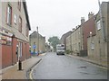
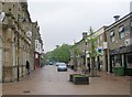
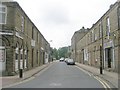
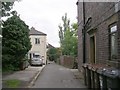
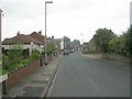
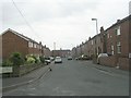
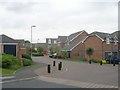
100 photos from this area
Area Information
Key information about the WF5 9JL including its size, population, and administrative classification.
- Area Type
- Postcode
- Area Size
- 1.4 hectares
- Population
- 1705
- Population Density
- 5547 people/km²
House Prices in WF5 9JL
77
Properties
£137,175
Average Sold Price
£76,000
Lowest Price
£265,000
Highest Price
Showing 77 properties
| Address | Type | Beds | Baths | Last Sale Price | Last Sale Date | |
|---|---|---|---|---|---|---|
| 55 Moorcroft, Ossett, WF5 9JL | Flat | - | - | £120,000 | Oct 2025 | |
| 32 Moorcroft, Ossett, WF5 9JL | Flat | 2 | 1 | £107,500 | Jul 2025 | |
| 80 Moorcroft, Ossett, WF5 9JL | Flat | - | - | £90,000 | Jun 2025 | |
| 57 Moorcroft, Ossett, WF5 9JL | Flat | - | - | £140,000 | Mar 2025 | |
| 30 Moorcroft, Ossett, WF5 9JL | Flat | 3 | 2 | £117,000 | Oct 2024 | |
| 4 Moorcroft, Ossett, WF5 9JL | house | 4 | 2 | £220,000 | Feb 2023 | |
| 64 Moorcroft, Ossett, WF5 9JL | Flat | - | - | £115,000 | Dec 2022 | |
| 66 Moorcroft, Ossett, WF5 9JL | Flat | 2 | 1 | £112,000 | Oct 2022 | |
| 62 Moorcroft, Ossett, WF5 9JL | Flat | 2 | 1 | £107,000 | Aug 2022 | |
| 39 Moorcroft, Ossett, WF5 9JL | Flat | - | - | £88,000 | Jan 2022 |
Page 1 of 8
Energy Efficiency in WF5 9JL
Amenities
Schools
| Rank | School | Type | Entry gender | Ages |
|---|
Explore more schools in this area
Go to Schools tabDemographics
Household Size
One person
most common
Accommodation Type
Houses
most common
Tenure
54
majority
Ethnic Group
White
most common
Religion
N/A
most common
Household Composition
N/A
most common
Age
47
median
Adults (30-64 years)
most common
Household Deprivation
N/A
with no deprivation
NS-SEC
29
in Lower managerial occupations
Explore more demographic insights in this area
Go to Demographics tabPlanning
Planning Constraints
- Flood RiskPremium
- Ramsar Wetland SitesPremium
- Area of Outstanding Natural BeautyPremium
- Protected Nature ReservePremium
- Protected WoodlandPremium