Area Overview for WF4 2BZ
Photos of WF4 2BZ
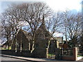
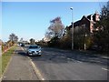
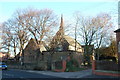
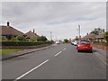
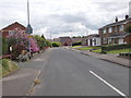
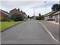
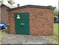
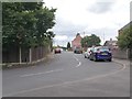
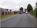
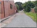
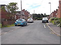
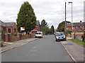
64 photos from this area
Area Information
Key information about the WF4 2BZ including its size, population, and administrative classification.
- Area Type
- Postcode
- Area Size
- 6.0 hectares
- Population
- 1637
- Population Density
- 1432 people/km²
House Prices in WF4 2BZ
43
Properties
£165,504
Average Sold Price
£44,950
Lowest Price
£450,000
Highest Price
Showing 43 properties
| Address | Type | Beds | Baths | Last Sale Price | Last Sale Date | |
|---|---|---|---|---|---|---|
| 122 Station Road, Ryhill, Wakefield, WF4 2BZ | Detached | 4 | 2 | £405,000 | Oct 2025 | |
| 112 Station Road, Ryhill, Wakefield, WF4 2BZ | Terraced | 3 | 1 | £170,000 | Jul 2025 | |
| 134 Station Road, Ryhill, Wakefield, WF4 2BZ | Semi-detached | 2 | 1 | £145,000 | Sep 2024 | |
| 132 Station Road, Ryhill, Wakefield, WF4 2BZ | Semi-detached | 2 | 1 | £160,000 | Aug 2024 | |
| 114 Station Road, Ryhill, Wakefield, WF4 2BZ | Terraced | 4 | 1 | £158,500 | Jun 2024 | |
| 110 Station Road, Ryhill, Wakefield, WF4 2BZ | Flat | - | - | £153,000 | May 2022 | |
| 116 Station Road, Ryhill, Wakefield, WF4 2BZ | house | - | - | £220,000 | Nov 2021 | |
| 104 Station Road, Ryhill, Wakefield, WF4 2BZ | house | - | - | £126,500 | Aug 2021 | |
| 140 Station Road, Ryhill, Wakefield, WF4 2BZ | Semi-detached | 3 | 1 | £122,000 | Mar 2020 | |
| 111 Station Road, Ryhill, Wakefield, WF4 2BZ | Semi-detached | - | - | £70,000 | Jun 2019 |
Page 1 of 5
Energy Efficiency in WF4 2BZ
Amenities
Schools
| Rank | School | Type | Entry gender | Ages |
|---|
Explore more schools in this area
Go to Schools tabDemographics
Household Size
Two person
most common
Accommodation Type
Houses
most common
Tenure
75
majority
Ethnic Group
White
most common
Religion
N/A
most common
Household Composition
N/A
most common
Age
47
median
Adults (30-64 years)
most common
Household Deprivation
N/A
with no deprivation
NS-SEC
25
in Lower managerial occupations
Explore more demographic insights in this area
Go to Demographics tabPlanning
Planning Constraints
- Flood RiskPremium
- Ramsar Wetland SitesPremium
- Area of Outstanding Natural BeautyPremium
- Protected Nature ReservePremium
- Protected WoodlandPremium