Area Overview for WF16 0LQ
Photos of WF16 0LQ
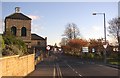
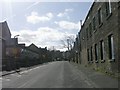
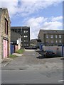

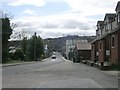
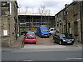
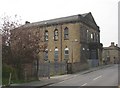
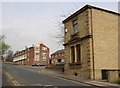
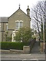
100 photos from this area
Area Information
Key information about the WF16 0LQ including its size, population, and administrative classification.
- Area Type
- Postcode
- Area Size
- 3808 m²
- Population
- 1973
- Population Density
- 6967 people/km²
House Prices in WF16 0LQ
9
Properties
£116,019
Average Sold Price
£32,252
Lowest Price
£228,000
Highest Price
Showing 9 properties
| Address | Type | Beds | Baths | Last Sale Price | Last Sale Date | |
|---|---|---|---|---|---|---|
| 16 Church Street, Heckmondwike, WF16 0LQ | house | - | - | £125,000 | Dec 2020 | |
| 12 Church Street, Heckmondwike, WF16 0LQ | Terraced | 2 | 1 | £141,932 | Oct 2020 | |
| 21 Church Street, Heckmondwike, WF16 0LQ | house | 3 | - | £100,000 | Oct 2020 | |
| 23 Church Street, Heckmondwike, WF16 0LQ | house | - | - | £228,000 | Oct 2006 | |
| 19 Church Street, Heckmondwike, WF16 0LQ | house | - | - | £84,950 | Feb 2005 | |
| 14 Church Street, Heckmondwike, WF16 0LQ | house | 3 | - | £100,000 | Aug 2004 | |
| 18 Church Street, Heckmondwike, WF16 0LQ | Terraced | 3 | 1 | £32,252 | Dec 2003 | |
| 20 Church Street, Heckmondwike, WF16 0LQ | Detached | - | - | - | - | |
| 17 Church Street, Heckmondwike, WF16 0LQ | house | - | - | - | - |
Energy Efficiency in WF16 0LQ
Amenities
Schools
| Rank | School | Type | Entry gender | Ages |
|---|
Explore more schools in this area
Go to Schools tabDemographics
Household Size
One person
most common
Accommodation Type
Houses
most common
Tenure
49
majority
Ethnic Group
asian_total
most common
Religion
N/A
most common
Household Composition
N/A
most common
Age
47
median
Adults (30-64 years)
most common
Household Deprivation
N/A
with no deprivation
NS-SEC
17
in Lower managerial occupations
Explore more demographic insights in this area
Go to Demographics tabPlanning
Planning Constraints
- Flood RiskPremium
- Ramsar Wetland SitesPremium
- Area of Outstanding Natural BeautyPremium
- Protected Nature ReservePremium
- Protected WoodlandPremium