Area Overview for WF15 7JE
Photos of WF15 7JE
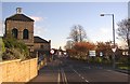
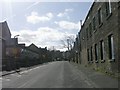
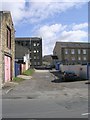

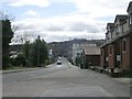
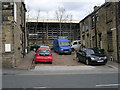
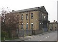
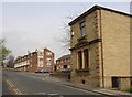
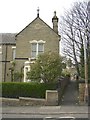
100 photos from this area
Area Information
Key information about the WF15 7JE including its size, population, and administrative classification.
- Area Type
- Postcode
- Area Size
- 1.8 hectares
- Population
- 1780
- Population Density
- 3755 people/km²
House Prices in WF15 7JE
29
Properties
£73,233
Average Sold Price
£16,200
Lowest Price
£153,000
Highest Price
Showing 29 properties
| Address | Type | Beds | Baths | Last Sale Price | Last Sale Date | |
|---|---|---|---|---|---|---|
| 117 Union Road, Liversedge, WF15 7JE | house | - | - | £120,000 | Sep 2024 | |
| 131 Union Road, Liversedge, WF15 7JE | Terraced | 2 | 1 | £153,000 | May 2024 | |
| 113 Union Road, Liversedge, WF15 7JE | Detached | - | - | £87,500 | Mar 2024 | |
| 95 Union Road, Liversedge, WF15 7JE | house | - | - | £109,950 | Mar 2021 | |
| 79 Union Road, Liversedge, WF15 7JE | Terraced | 2 | 1 | £76,000 | Mar 2021 | |
| 109 Union Road, Liversedge, WF15 7JE | house | - | - | £110,000 | Mar 2021 | |
| 85 Union Road, Liversedge, WF15 7JE | house | - | - | £33,000 | Oct 2019 | |
| 97 Union Road, Liversedge, WF15 7JE | house | - | - | £78,000 | Oct 2019 | |
| 81 Union Road, Liversedge, WF15 7JE | Terraced | 1 | 1 | £57,750 | Mar 2018 | |
| 119 Union Road, Liversedge, WF15 7JE | house | - | - | £89,000 | Sep 2017 |
Page 1 of 3
Energy Efficiency in WF15 7JE
Amenities
Schools
| Rank | School | Type | Entry gender | Ages |
|---|
Explore more schools in this area
Go to Schools tabDemographics
Household Size
One person
most common
Accommodation Type
Houses
most common
Tenure
46
majority
Ethnic Group
White
most common
Religion
N/A
most common
Household Composition
N/A
most common
Age
47
median
Adults (30-64 years)
most common
Household Deprivation
N/A
with no deprivation
NS-SEC
22
in Lower managerial occupations
Explore more demographic insights in this area
Go to Demographics tabPlanning
Planning Constraints
- Flood RiskPremium
- Ramsar Wetland SitesPremium
- Area of Outstanding Natural BeautyPremium
- Protected Nature ReservePremium
- Protected WoodlandPremium