Area Overview for WF15 7HU
Photos of WF15 7HU
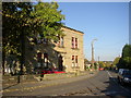
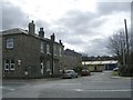
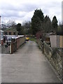
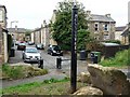
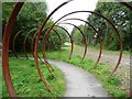
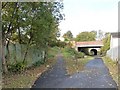
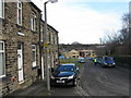
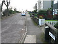
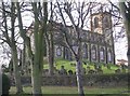
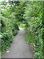
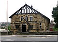
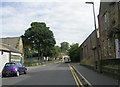
100 photos from this area
Area Information
Key information about the WF15 7HU including its size, population, and administrative classification.
- Area Type
- Postcode
- Area Size
- 1.0 hectares
- Population
- 1780
- Population Density
- 3755 people/km²
House Prices in WF15 7HU
35
Properties
£100,831
Average Sold Price
£28,700
Lowest Price
£168,000
Highest Price
Showing 35 properties
| Address | Type | Beds | Baths | Last Sale Price | Last Sale Date | |
|---|---|---|---|---|---|---|
| 46 Union Road, Liversedge, WF15 7HU | Terraced | 3 | 1 | £168,000 | Dec 2023 | |
| 73 Union Road, Liversedge, WF15 7HU | Terraced | 2 | 1 | £122,500 | Sep 2023 | |
| 50 Union Road, Liversedge, WF15 7HU | house | - | - | £107,000 | Mar 2023 | |
| 35 Union Road, Liversedge, WF15 7HU | Terraced | 2 | 1 | £113,750 | Nov 2022 | |
| 55 Union Road, Liversedge, WF15 7HU | house | - | - | £135,000 | Nov 2022 | |
| 31 Union Road, Liversedge, WF15 7HU | Terraced | 2 | 1 | £125,000 | Jun 2022 | |
| 63 Union Road, Liversedge, WF15 7HU | house | - | - | £80,000 | Oct 2021 | |
| 49 Union Road, Liversedge, WF15 7HU | house | - | - | £105,250 | Mar 2021 | |
| 45 Union Road, Liversedge, WF15 7HU | Terraced | 2 | 1 | £65,000 | Mar 2021 | |
| 56 Union Road, Liversedge, WF15 7HU | Semi-detached | 2 | 1 | £130,000 | Dec 2020 |
Page 1 of 4
Energy Efficiency in WF15 7HU
Amenities
Schools
| Rank | School | Type | Entry gender | Ages |
|---|
Explore more schools in this area
Go to Schools tabDemographics
Household Size
One person
most common
Accommodation Type
Houses
most common
Tenure
46
majority
Ethnic Group
White
most common
Religion
N/A
most common
Household Composition
N/A
most common
Age
47
median
Adults (30-64 years)
most common
Household Deprivation
N/A
with no deprivation
NS-SEC
22
in Lower managerial occupations
Explore more demographic insights in this area
Go to Demographics tabPlanning
Planning Constraints
- Flood RiskPremium
- Ramsar Wetland SitesPremium
- Area of Outstanding Natural BeautyPremium
- Protected Nature ReservePremium
- Protected WoodlandPremium