Area Overview for WF14 9RP
Photos of WF14 9RP
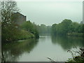
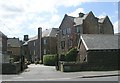
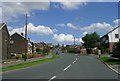
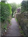
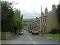
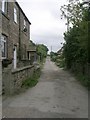
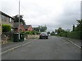
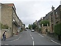
100 photos from this area
Area Information
Key information about the WF14 9RP including its size, population, and administrative classification.
- Area Type
- Postcode
- Area Size
- 1040 m²
- Population
- 1567
- Population Density
- 4796 people/km²
House Prices in WF14 9RP
9
Properties
£120,550
Average Sold Price
£42,000
Lowest Price
£205,000
Highest Price
Showing 9 properties
| Address | Type | Beds | Baths | Last Sale Price | Last Sale Date | |
|---|---|---|---|---|---|---|
| 29 The Knowl, Mirfield, WF14 9RP | house | 1 | 1 | £175,000 | Dec 2024 | |
| 31 The Knowl, Mirfield, WF14 9RP | Terraced | 2 | 1 | £77,000 | Jun 2024 | |
| 35 The Knowl, Mirfield, WF14 9RP | Terraced | 2 | 1 | £114,000 | Oct 2023 | |
| 25 The Knowl, Mirfield, WF14 9RP | Terraced | 1 | 1 | £135,000 | Sep 2023 | |
| 23 The Knowl, Mirfield, WF14 9RP | house | - | - | £205,000 | May 2022 | |
| 33 The Knowl, Mirfield, WF14 9RP | Terraced | 2 | 2 | £124,000 | May 2021 | |
| 37 The Knowl, Mirfield, WF14 9RP | house | 2 | - | £83,000 | Oct 2012 | |
| 39 The Knowl, Mirfield, WF14 9RP | Semi-detached | 3 | 1 | £129,950 | Sep 2005 | |
| 27 The Knowl, Mirfield, WF14 9RP | Terraced | 1 | 1 | £42,000 | Sep 2000 |
Energy Efficiency in WF14 9RP
Amenities
Schools
| Rank | School | Type | Entry gender | Ages |
|---|
Explore more schools in this area
Go to Schools tabDemographics
Household Size
One person
most common
Accommodation Type
Houses
most common
Tenure
54
majority
Ethnic Group
White
most common
Religion
N/A
most common
Household Composition
N/A
most common
Age
47
median
Adults (30-64 years)
most common
Household Deprivation
N/A
with no deprivation
NS-SEC
27
in Lower managerial occupations
Explore more demographic insights in this area
Go to Demographics tabPlanning
Planning Constraints
- Flood RiskPremium
- Ramsar Wetland SitesPremium
- Area of Outstanding Natural BeautyPremium
- Protected Nature ReservePremium
- Protected WoodlandPremium