Area Overview for WF14 9RJ
Photos of WF14 9RJ
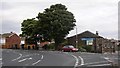
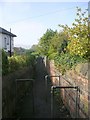
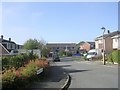
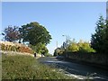
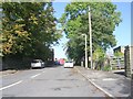
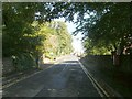
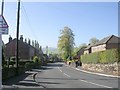
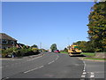
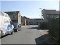
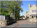
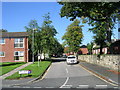
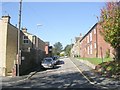
100 photos from this area
Area Information
Key information about the WF14 9RJ including its size, population, and administrative classification.
- Area Type
- Postcode
- Area Size
- 1.4 hectares
- Population
- 1567
- Population Density
- 4796 people/km²
House Prices in WF14 9RJ
19
Properties
£230,353
Average Sold Price
£82,000
Lowest Price
£375,000
Highest Price
Showing 19 properties
| Address | Type | Beds | Baths | Last Sale Price | Last Sale Date | |
|---|---|---|---|---|---|---|
| 109 Knowl Road, Mirfield, WF14 9RJ | house | 1 | - | £315,000 | Feb 2024 | |
| 100 Knowl Road, Mirfield, WF14 9RJ | Bungalow | 2 | 2 | £300,000 | Apr 2022 | |
| 118 Knowl Road, Mirfield, WF14 9RJ | house | - | - | £186,884 | Jul 2021 | |
| 120 Knowl Road, Mirfield, WF14 9RJ | Semi-detached | 3 | - | £215,000 | Dec 2019 | |
| 116 Knowl Road, Mirfield, WF14 9RJ | Detached | 4 | 2 | £285,000 | Nov 2018 | |
| 108 Knowl Road, Mirfield, WF14 9RJ | Detached | 4 | 1 | £320,000 | Jul 2018 | |
| 122 Knowl Road, Mirfield, WF14 9RJ | house | - | - | £185,000 | May 2016 | |
| 113 Knowl Road, Mirfield, WF14 9RJ | Detached | 4 | - | £375,000 | Aug 2015 | |
| 126 Knowl Road, Mirfield, WF14 9RJ | Semi-detached | 3 | - | £170,000 | Jul 2015 | |
| 121 Knowl Road, Mirfield, WF14 9RJ | house | 1 | 1 | £82,000 | May 2014 |
Page 1 of 2
Energy Efficiency in WF14 9RJ
Amenities
Schools
| Rank | School | Type | Entry gender | Ages |
|---|
Explore more schools in this area
Go to Schools tabDemographics
Household Size
One person
most common
Accommodation Type
Houses
most common
Tenure
54
majority
Ethnic Group
White
most common
Religion
N/A
most common
Household Composition
N/A
most common
Age
47
median
Adults (30-64 years)
most common
Household Deprivation
N/A
with no deprivation
NS-SEC
27
in Lower managerial occupations
Explore more demographic insights in this area
Go to Demographics tabPlanning
Planning Constraints
- Flood RiskPremium
- Ramsar Wetland SitesPremium
- Area of Outstanding Natural BeautyPremium
- Protected Nature ReservePremium
- Protected WoodlandPremium