Area Overview for WF1 4RN
Photos of WF1 4RN

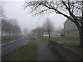
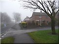
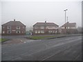
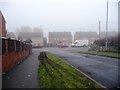
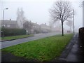
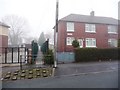
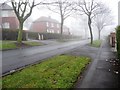
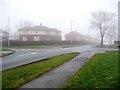
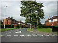
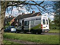
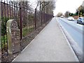
100 photos from this area
Area Information
Key information about the WF1 4RN including its size, population, and administrative classification.
- Area Type
- Postcode
- Area Size
- 1.1 hectares
- Population
- 1629
- Population Density
- 4171 people/km²
House Prices in WF1 4RN
32
Properties
£93,893
Average Sold Price
£15,980
Lowest Price
£125,000
Highest Price
Showing 32 properties
| Address | Type | Beds | Baths | Last Sale Price | Last Sale Date | |
|---|---|---|---|---|---|---|
| 15 Brotherton Avenue, Wakefield, WF1 4RN | Semi-detached | 3 | 1 | £122,500 | May 2018 | |
| 33 Brotherton Avenue, Wakefield, WF1 4RN | Semi-detached | 3 | - | £120,000 | Aug 2017 | |
| 21 Brotherton Avenue, Wakefield, WF1 4RN | Semi-detached | 3 | - | £96,500 | Oct 2015 | |
| 9 Brotherton Avenue, Wakefield, WF1 4RN | Semi-detached | 3 | 1 | £125,000 | Aug 2015 | |
| 14 Brotherton Avenue, Wakefield, WF1 4RN | Semi-detached | 2 | - | £89,000 | Oct 2014 | |
| 25 Brotherton Avenue, Wakefield, WF1 4RN | Semi-detached | 3 | - | £115,000 | Jul 2006 | |
| 18 Brotherton Avenue, Wakefield, WF1 4RN | house | - | - | £108,000 | Jun 2005 | |
| 27 Brotherton Avenue, Wakefield, WF1 4RN | Semi-detached | - | - | £110,000 | Apr 2005 | |
| 7 Brotherton Avenue, Wakefield, WF1 4RN | Semi-detached | - | - | £15,980 | Jul 2002 | |
| 35 Brotherton Avenue, Wakefield, WF1 4RN | Semi-detached | - | - | £36,950 | Jan 2002 |
Page 1 of 4
Energy Efficiency in WF1 4RN
Amenities
Schools
| Rank | School | Type | Entry gender | Ages |
|---|
Explore more schools in this area
Go to Schools tabDemographics
Household Size
One person
most common
Accommodation Type
Houses
most common
Tenure
42
majority
Ethnic Group
White
most common
Religion
N/A
most common
Household Composition
N/A
most common
Age
47
median
Adults (30-64 years)
most common
Household Deprivation
N/A
with no deprivation
NS-SEC
14
in Lower managerial occupations
Explore more demographic insights in this area
Go to Demographics tabPlanning
Planning Constraints
- Flood RiskPremium
- Ramsar Wetland SitesPremium
- Area of Outstanding Natural BeautyPremium
- Protected Nature ReservePremium
- Protected WoodlandPremium