Area Overview for WF1 4NG
Photos of WF1 4NG
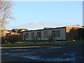
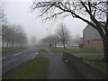
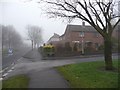
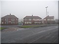
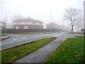
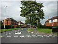
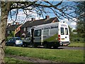
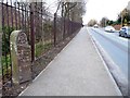
100 photos from this area
Area Information
Key information about the WF1 4NG including its size, population, and administrative classification.
- Area Type
- Postcode
- Area Size
- 1.3 hectares
- Population
- 1690
- Population Density
- 6383 people/km²
House Prices in WF1 4NG
31
Properties
£72,424
Average Sold Price
£22,120
Lowest Price
£118,500
Highest Price
Showing 31 properties
| Address | Type | Beds | Baths | Last Sale Price | Last Sale Date | |
|---|---|---|---|---|---|---|
| 80 Woodhouse Road, Wakefield, WF1 4NG | Semi-detached | 3 | 1 | £110,000 | Jul 2017 | |
| 72 Woodhouse Road, Wakefield, WF1 4NG | Semi-detached | 3 | 1 | £96,000 | Apr 2017 | |
| 23 Woodhouse Road, Wakefield, WF1 4NG | house | - | - | £88,000 | Mar 2010 | |
| 43 Woodhouse Road, Wakefield, WF1 4NG | Semi-detached | - | - | £109,000 | Jan 2007 | |
| 33 Woodhouse Road, Wakefield, WF1 4NG | house | - | - | £118,500 | Nov 2006 | |
| 51 Woodhouse Road, Wakefield, WF1 4NG | Semi-detached | 3 | - | £22,120 | Apr 2002 | |
| 70 Woodhouse Road, Wakefield, WF1 4NG | house | - | - | £40,000 | Nov 2001 | |
| 59 Woodhouse Road, Wakefield, WF1 4NG | Semi-detached | - | - | £33,200 | Feb 2001 | |
| 45 Woodhouse Road, Wakefield, WF1 4NG | Semi-detached | - | - | £35,000 | Jan 1997 | |
| 27 Woodhouse Road, Wakefield, WF1 4NG | Detached | 3 | 1 | - | - |
Page 1 of 4
Energy Efficiency in WF1 4NG
Amenities
Schools
| Rank | School | Type | Entry gender | Ages |
|---|
Explore more schools in this area
Go to Schools tabDemographics
Household Size
Family (3-5 people)
most common
Accommodation Type
Houses
most common
Tenure
40
majority
Ethnic Group
White
most common
Religion
N/A
most common
Household Composition
N/A
most common
Age
47
median
Adults (30-64 years)
most common
Household Deprivation
N/A
with no deprivation
NS-SEC
15
in Lower managerial occupations
Explore more demographic insights in this area
Go to Demographics tabPlanning
Planning Constraints
- Flood RiskPremium
- Ramsar Wetland SitesPremium
- Area of Outstanding Natural BeautyPremium
- Protected Nature ReservePremium
- Protected WoodlandPremium