Area Overview for WF1 2NJ
Photos of WF1 2NJ
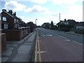
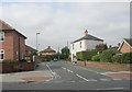
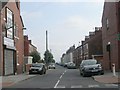
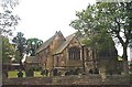
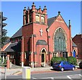
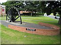
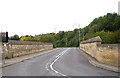
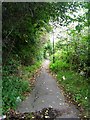
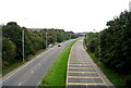
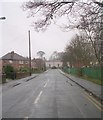
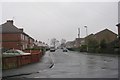
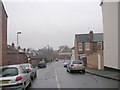
100 photos from this area
Area Information
Key information about the WF1 2NJ including its size, population, and administrative classification.
- Area Type
- Postcode
- Area Size
- 1.0 hectares
- Population
- 1557
- Population Density
- 4361 people/km²
House Prices in WF1 2NJ
31
Properties
£127,905
Average Sold Price
£63,950
Lowest Price
£200,000
Highest Price
Showing 31 properties
| Address | Type | Beds | Baths | Last Sale Price | Last Sale Date | |
|---|---|---|---|---|---|---|
| 28 Margaret Street, Outwood, Wakefield, WF1 2NJ | house | 2 | 1 | £160,000 | Jan 2025 | |
| 8 Margaret Street, Outwood, Wakefield, WF1 2NJ | Semi-detached | 3 | 1 | £200,000 | Jun 2024 | |
| 20 Margaret Street, Outwood, Wakefield, WF1 2NJ | house | - | - | £165,000 | Mar 2021 | |
| 17 Margaret Street, Outwood, Wakefield, WF1 2NJ | Detached | 2 | 1 | £135,000 | Dec 2020 | |
| 3 Margaret Street, Outwood, Wakefield, WF1 2NJ | Semi-detached | 2 | 1 | £115,500 | Nov 2018 | |
| 5 Margaret Street, Outwood, Wakefield, WF1 2NJ | Semi-detached | 3 | 1 | £110,000 | Nov 2018 | |
| 22 Margaret Street, Outwood, Wakefield, WF1 2NJ | Semi-detached | 2 | 1 | £94,000 | Oct 2017 | |
| 7 Margaret Street, Outwood, Wakefield, WF1 2NJ | Semi-detached | 3 | 1 | £126,000 | Mar 2017 | |
| 19 Margaret Street, Outwood, Wakefield, WF1 2NJ | Semi-detached | 3 | 1 | £125,000 | Nov 2015 | |
| 18 Margaret Street, Outwood, Wakefield, WF1 2NJ | Semi-detached | - | - | £112,500 | Sep 2004 |
Page 1 of 4
Energy Efficiency in WF1 2NJ
Amenities
Schools
| Rank | School | Type | Entry gender | Ages |
|---|
Explore more schools in this area
Go to Schools tabDemographics
Household Size
One person
most common
Accommodation Type
Houses
most common
Tenure
46
majority
Ethnic Group
White
most common
Religion
N/A
most common
Household Composition
N/A
most common
Age
47
median
Adults (30-64 years)
most common
Household Deprivation
N/A
with no deprivation
NS-SEC
21
in Lower managerial occupations
Explore more demographic insights in this area
Go to Demographics tabPlanning
Planning Constraints
- Flood RiskPremium
- Ramsar Wetland SitesPremium
- Area of Outstanding Natural BeautyPremium
- Protected Nature ReservePremium
- Protected WoodlandPremium