Area Overview for WF1 2BQ
Photos of WF1 2BQ
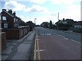
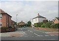
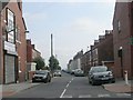
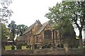
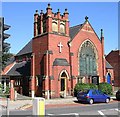
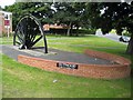
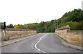
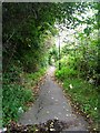
100 photos from this area
Area Information
Key information about the WF1 2BQ including its size, population, and administrative classification.
- Area Type
- Postcode
- Area Size
- 3.4 hectares
- Population
- 2094
- Population Density
- 3646 people/km²
House Prices in WF1 2BQ
10
Properties
£128,629
Average Sold Price
£52,950
Lowest Price
£185,000
Highest Price
Showing 10 properties
| Address | Type | Beds | Baths | Last Sale Price | Last Sale Date | |
|---|---|---|---|---|---|---|
| 85 Ruskin Avenue, Wakefield, WF1 2BQ | house | 3 | 1 | £115,000 | Nov 2022 | |
| 81 Ruskin Avenue, Wakefield, WF1 2BQ | Semi-detached | 3 | 1 | £179,950 | Oct 2016 | |
| 77 Ruskin Avenue, Wakefield, WF1 2BQ | house | 3 | - | £157,500 | Jun 2011 | |
| 80 Ruskin Avenue, Wakefield, WF1 2BQ | Semi-detached | - | - | £105,000 | May 2010 | |
| 82 Ruskin Avenue, Wakefield, WF1 2BQ | house | - | - | £185,000 | Dec 2007 | |
| 83 Ruskin Avenue, Wakefield, WF1 2BQ | Semi-detached | - | - | £105,000 | Dec 2003 | |
| 79 Ruskin Avenue, Wakefield, WF1 2BQ | house | 4 | - | £52,950 | Feb 1995 | |
| 84 Ruskin Avenue, Wakefield, WF1 2BQ | Semi-detached | 5 | 2 | - | - | |
| 78 Ruskin Avenue, Wakefield, WF1 2BQ | Semi-detached | - | - | - | - | |
| 87 Ruskin Avenue, Wakefield, WF1 2BQ | Terraced | - | - | - | - |
Energy Efficiency in WF1 2BQ
Amenities
Schools
| Rank | School | Type | Entry gender | Ages |
|---|
Explore more schools in this area
Go to Schools tabDemographics
Household Size
Family (3-5 people)
most common
Accommodation Type
Houses
most common
Tenure
80
majority
Ethnic Group
White
most common
Religion
N/A
most common
Household Composition
N/A
most common
Age
47
median
Adults (30-64 years)
most common
Household Deprivation
N/A
with no deprivation
NS-SEC
39
in Lower managerial occupations
Explore more demographic insights in this area
Go to Demographics tabPlanning
Planning Constraints
- Flood RiskPremium
- Ramsar Wetland SitesPremium
- Area of Outstanding Natural BeautyPremium
- Protected Nature ReservePremium
- Protected WoodlandPremium