Area Overview for S70 3DL
Photos of S70 3DL
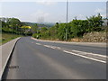
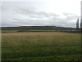
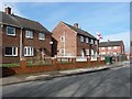
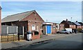
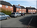
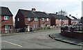
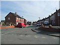
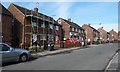
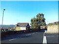
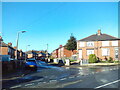
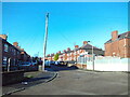
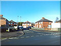
18 photos from this area
Area Information
Key information about the S70 3DL including its size, population, and administrative classification.
- Area Type
- Postcode
- Area Size
- 5.5 hectares
- Population
- 1521
- Population Density
- 2439 people/km²
House Prices in S70 3DL
64
Properties
£111,625
Average Sold Price
£21,000
Lowest Price
£175,000
Highest Price
Showing 64 properties
| Address | Type | Beds | Baths | Last Sale Price | Last Sale Date | |
|---|---|---|---|---|---|---|
| 92 Farm Road, Kendray, Barnsley, S70 3DL | Terraced | 4 | 3 | £175,000 | Aug 2024 | |
| 85 Farm Road, Kendray, Barnsley, S70 3DL | Semi-detached | 2 | 1 | £138,000 | Aug 2024 | |
| 79 Farm Road, Kendray, Barnsley, S70 3DL | house | - | - | £108,000 | Apr 2023 | |
| 92A Farm Road, Kendray, Barnsley, S70 3DL | Semi-detached | 4 | 1 | £155,000 | Feb 2023 | |
| 81 Farm Road, Kendray, Barnsley, S70 3DL | house | 2 | - | £155,000 | Sep 2022 | |
| 94 Farm Road, Kendray, Barnsley, S70 3DL | house | - | - | £120,000 | Nov 2018 | |
| 98 Farm Road, Kendray, Barnsley, S70 3DL | Terraced | 4 | 1 | £120,000 | Nov 2018 | |
| 96A Farm Road, Kendray, Barnsley, S70 3DL | house | - | - | £115,000 | Oct 2018 | |
| 96 Farm Road, Kendray, Barnsley, S70 3DL | house | - | - | £123,500 | Sep 2018 | |
| 53 Farm Road, Kendray, Barnsley, S70 3DL | Semi-detached | - | - | £67,500 | Dec 2013 |
Page 1 of 7
Energy Efficiency in S70 3DL
Amenities
Schools
| Rank | School | Type | Entry gender | Ages |
|---|
Explore more schools in this area
Go to Schools tabDemographics
Household Size
Two person
most common
Accommodation Type
Houses
most common
Tenure
47
majority
Ethnic Group
White
most common
Religion
N/A
most common
Household Composition
N/A
most common
Age
47
median
Adults (30-64 years)
most common
Household Deprivation
N/A
with no deprivation
NS-SEC
15
in Lower managerial occupations
Explore more demographic insights in this area
Go to Demographics tabPlanning
Planning Constraints
- Flood RiskPremium
- Ramsar Wetland SitesPremium
- Area of Outstanding Natural BeautyPremium
- Protected Nature ReservePremium
- Protected WoodlandPremium