Area Overview for S70 3DJ
Photos of S70 3DJ
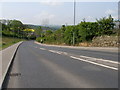
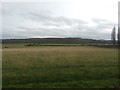
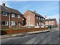
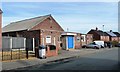
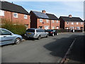
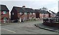
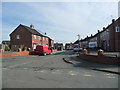
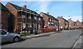
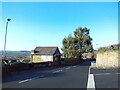
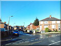
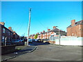
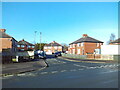
18 photos from this area
Area Information
Key information about the S70 3DJ including its size, population, and administrative classification.
- Area Type
- Postcode
- Area Size
- 1.9 hectares
- Population
- 1521
- Population Density
- 2439 people/km²
House Prices in S70 3DJ
48
Properties
£107,992
Average Sold Price
£52,950
Lowest Price
£240,000
Highest Price
Showing 48 properties
| Address | Type | Beds | Baths | Last Sale Price | Last Sale Date | |
|---|---|---|---|---|---|---|
| 13 Farm Road, Kendray, Barnsley, S70 3DJ | house | - | - | £132,500 | May 2025 | |
| 25 Farm Road, Kendray, Barnsley, S70 3DJ | house | - | - | £153,000 | Apr 2025 | |
| 5 Farm Road, Kendray, Barnsley, S70 3DJ | Semi-detached | 3 | 1 | £125,000 | Dec 2022 | |
| 11 Farm Road, Kendray, Barnsley, S70 3DJ | house | 3 | 1 | £100,000 | Mar 2022 | |
| 16A Farm Road, Kendray, Barnsley, S70 3DJ | Detached | 4 | 3 | £240,000 | Mar 2022 | |
| 27 Farm Road, Kendray, Barnsley, S70 3DJ | house | 3 | 1 | £150,000 | Jan 2022 | |
| 33 Farm Road, Kendray, Barnsley, S70 3DJ | Semi-detached | 2 | 1 | £76,500 | Mar 2019 | |
| 15 Farm Road, Kendray, Barnsley, S70 3DJ | house | - | - | £65,000 | Jun 2011 | |
| 20 Farm Road, Kendray, Barnsley, S70 3DJ | house | - | - | £65,000 | Jun 2011 | |
| 21 Farm Road, Kendray, Barnsley, S70 3DJ | Semi-detached | - | - | £61,000 | Sep 2007 |
Page 1 of 5
Energy Efficiency in S70 3DJ
Amenities
Schools
| Rank | School | Type | Entry gender | Ages |
|---|
Explore more schools in this area
Go to Schools tabDemographics
Household Size
Two person
most common
Accommodation Type
Houses
most common
Tenure
47
majority
Ethnic Group
White
most common
Religion
N/A
most common
Household Composition
N/A
most common
Age
47
median
Adults (30-64 years)
most common
Household Deprivation
N/A
with no deprivation
NS-SEC
15
in Lower managerial occupations
Explore more demographic insights in this area
Go to Demographics tabPlanning
Planning Constraints
- Flood RiskPremium
- Ramsar Wetland SitesPremium
- Area of Outstanding Natural BeautyPremium
- Protected Nature ReservePremium
- Protected WoodlandPremium