Area Overview for S66 2HW
Photos of S66 2HW
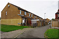
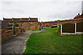
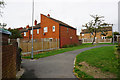
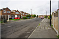
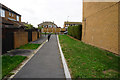
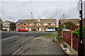
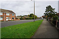
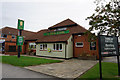
20 photos from this area
Area Information
Key information about the S66 2HW including its size, population, and administrative classification.
- Area Type
- Postcode
- Area Size
- 2.6 hectares
- Population
- 1485
- Population Density
- 4373 people/km²
House Prices in S66 2HW
48
Properties
£169,902
Average Sold Price
£35,000
Lowest Price
£385,000
Highest Price
Showing 48 properties
| Address | Type | Beds | Baths | Last Sale Price | Last Sale Date | |
|---|---|---|---|---|---|---|
| 136 Northfield Lane, Wickersley, Rotherham, S66 2HW | Terraced | 2 | 1 | £150,000 | Jun 2025 | |
| 78 Northfield Lane, Wickersley, Rotherham, S66 2HW | Semi-detached | 3 | 1 | £265,000 | Sep 2024 | |
| 124 Northfield Lane, Wickersley, Rotherham, S66 2HW | Terraced | 2 | 1 | £127,500 | Oct 2020 | |
| 104 Northfield Lane, Wickersley, Rotherham, S66 2HW | Semi-detached | 4 | - | £248,000 | Jan 2020 | |
| 128 Northfield Lane, Wickersley, Rotherham, S66 2HW | house | - | - | £122,500 | Dec 2019 | |
| 126 Northfield Lane, Wickersley, Rotherham, S66 2HW | Semi-detached | 2 | - | £115,000 | Jun 2018 | |
| 84 Northfield Lane, Wickersley, Rotherham, S66 2HW | house | - | - | £169,000 | Mar 2018 | |
| 121 Northfield Lane, Wickersley, Rotherham, S66 2HW | Bungalow | 4 | - | £350,000 | Feb 2017 | |
| 107 Northfield Lane, Wickersley, Rotherham, S66 2HW | Bungalow | 4 | 2 | £385,000 | Aug 2016 | |
| 94 Northfield Lane, Wickersley, Rotherham, S66 2HW | Semi-detached | 3 | - | £163,500 | Sep 2013 |
Page 1 of 5
Energy Efficiency in S66 2HW
Amenities
Schools
| Rank | School | Type | Entry gender | Ages |
|---|
Explore more schools in this area
Go to Schools tabDemographics
Household Size
Two person
most common
Accommodation Type
Houses
most common
Tenure
50
majority
Ethnic Group
White
most common
Religion
N/A
most common
Household Composition
N/A
most common
Age
47
median
Adults (30-64 years)
most common
Household Deprivation
N/A
with no deprivation
NS-SEC
31
in Lower managerial occupations
Explore more demographic insights in this area
Go to Demographics tabPlanning
Planning Constraints
- Flood RiskPremium
- Ramsar Wetland SitesPremium
- Area of Outstanding Natural BeautyPremium
- Protected Nature ReservePremium
- Protected WoodlandPremium