Area Overview for S66 1XF
Photos of S66 1XF
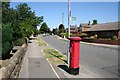
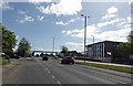
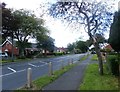
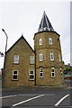
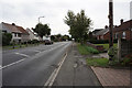
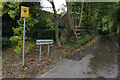
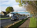
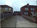
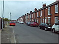
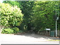
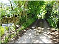
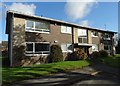
17 photos from this area
Area Information
Key information about the S66 1XF including its size, population, and administrative classification.
- Area Type
- Postcode
- Area Size
- 1.0 hectares
- Population
- 1795
- Population Density
- 3940 people/km²
House Prices in S66 1XF
14
Properties
£159,300
Average Sold Price
£69,950
Lowest Price
£240,000
Highest Price
Showing 14 properties
| Address | Type | Beds | Baths | Last Sale Price | Last Sale Date | |
|---|---|---|---|---|---|---|
| 7 Sexton Drive, Bramley, Rotherham, S66 1XF | Bungalow | 3 | - | £230,000 | Mar 2018 | |
| 6 Sexton Drive, Bramley, Rotherham, S66 1XF | Bungalow | 3 | - | £190,000 | Nov 2013 | |
| 5 Sexton Drive, Bramley, Rotherham, S66 1XF | house | - | - | £240,000 | Jan 2010 | |
| 15 Sexton Drive, Bramley, Rotherham, S66 1XF | Detached | - | - | £199,950 | Dec 2006 | |
| 17 Sexton Drive, Bramley, Rotherham, S66 1XF | Bungalow | 2 | 2 | £185,000 | Sep 2003 | |
| 8 Sexton Drive, Bramley, Rotherham, S66 1XF | Detached | - | - | £69,950 | Mar 2001 | |
| 10 Sexton Drive, Bramley, Rotherham, S66 1XF | Bungalow | - | - | £73,000 | Aug 1999 | |
| 3 Sexton Drive, Bramley, Rotherham, S66 1XF | house | - | - | £86,500 | Jun 1997 | |
| 1 Sexton Drive, Bramley, Rotherham, S66 1XF | Detached | 4 | 1 | - | - | |
| 2 Sexton Drive, Bramley, Rotherham, S66 1XF | Detached | - | - | - | - |
Page 1 of 2
Energy Efficiency in S66 1XF
Amenities
Schools
| Rank | School | Type | Entry gender | Ages |
|---|
Explore more schools in this area
Go to Schools tabDemographics
Household Size
Family (3-5 people)
most common
Accommodation Type
Houses
most common
Tenure
76
majority
Ethnic Group
White
most common
Religion
N/A
most common
Household Composition
N/A
most common
Age
47
median
Adults (30-64 years)
most common
Household Deprivation
N/A
with no deprivation
NS-SEC
33
in Lower managerial occupations
Explore more demographic insights in this area
Go to Demographics tabPlanning
Planning Constraints
- Flood RiskPremium
- Ramsar Wetland SitesPremium
- Area of Outstanding Natural BeautyPremium
- Protected Nature ReservePremium
- Protected WoodlandPremium