Area Overview for S6 5LW
Photos of S6 5LW
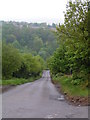
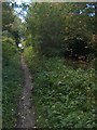
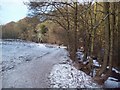
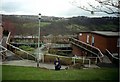
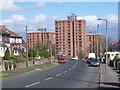
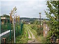
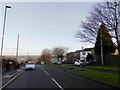
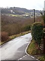
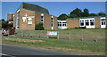
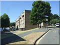
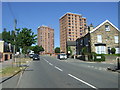
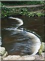
53 photos from this area
Area Information
Key information about the S6 5LW including its size, population, and administrative classification.
- Area Type
- Postcode
- Area Size
- 2.7 hectares
- Population
- 1504
- Population Density
- 7259 people/km²
House Prices in S6 5LW
63
Properties
£110,938
Average Sold Price
£36,500
Lowest Price
£200,000
Highest Price
Showing 63 properties
| Address | Type | Beds | Baths | Last Sale Price | Last Sale Date | |
|---|---|---|---|---|---|---|
| 27 Woodfarm Drive, Sheffield, S6 5LW | house | 3 | 1 | £200,000 | Mar 2024 | |
| 14 Woodfarm Drive, Sheffield, S6 5LW | Terraced | 3 | 1 | £190,000 | Sep 2023 | |
| 16 Woodfarm Drive, Sheffield, S6 5LW | house | - | - | £165,000 | Oct 2021 | |
| 7 Woodfarm Drive, Sheffield, S6 5LW | house | - | - | £146,250 | Sep 2021 | |
| 37 Woodfarm Drive, Sheffield, S6 5LW | house | - | - | £135,000 | May 2021 | |
| 4 Woodfarm Drive, Sheffield, S6 5LW | Terraced | 3 | 1 | £135,000 | Mar 2018 | |
| 43 Woodfarm Drive, Sheffield, S6 5LW | Terraced | 3 | 1 | £102,000 | Dec 2017 | |
| 55 Woodfarm Drive, Sheffield, S6 5LW | Maisonette | - | - | £70,000 | Oct 2015 | |
| 1 Woodfarm Drive, Sheffield, S6 5LW | Semi-detached | 3 | - | £80,750 | Jun 2015 | |
| 15 Woodfarm Drive, Sheffield, S6 5LW | Terraced | 3 | 1 | £85,500 | Dec 2010 |
Page 1 of 7
Energy Efficiency in S6 5LW
Amenities
Schools
| Rank | School | Type | Entry gender | Ages |
|---|
Explore more schools in this area
Go to Schools tabDemographics
Household Size
One person
most common
Accommodation Type
Houses
most common
Tenure
42
majority
Ethnic Group
White
most common
Religion
N/A
most common
Household Composition
N/A
most common
Age
47
median
Adults (30-64 years)
most common
Household Deprivation
N/A
with no deprivation
NS-SEC
21
in Lower managerial occupations
Explore more demographic insights in this area
Go to Demographics tabPlanning
Planning Constraints
- Flood RiskPremium
- Ramsar Wetland SitesPremium
- Area of Outstanding Natural BeautyPremium
- Protected Nature ReservePremium
- Protected WoodlandPremium