Area Overview for S6 3NG
Photos of S6 3NG
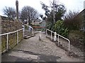
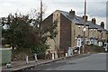
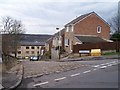
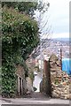
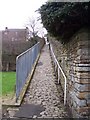
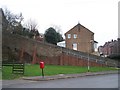
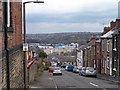
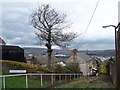
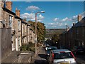
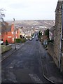
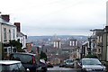
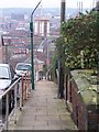
100 photos from this area
Area Information
Key information about the S6 3NG including its size, population, and administrative classification.
- Area Type
- Postcode
- Area Size
- 9450 m²
- Population
- 1591
- Population Density
- 7018 people/km²
House Prices in S6 3NG
36
Properties
£282,464
Average Sold Price
£60,000
Lowest Price
£692,600
Highest Price
Showing 36 properties
| Address | Type | Beds | Baths | Last Sale Price | Last Sale Date | |
|---|---|---|---|---|---|---|
| 209 Upperthorpe, Sheffield, S6 3NG | house | - | - | £200,000 | Feb 2025 | |
| 261 Upperthorpe, Sheffield, S6 3NG | Detached | 4 | 2 | £692,600 | Feb 2024 | |
| 267 Upperthorpe, Sheffield, S6 3NG | house | - | - | £625,000 | Feb 2023 | |
| 203 Upperthorpe, Sheffield, S6 3NG | Semi-detached | 3 | 1 | £175,000 | Mar 2021 | |
| 303 Upperthorpe, Sheffield, S6 3NG | house | - | - | £280,000 | Sep 2013 | |
| 213 Upperthorpe, Sheffield, S6 3NG | house | 4 | 2 | £249,000 | Jul 2013 | |
| 205 Upperthorpe, Sheffield, S6 3NG | house | 3 | - | £117,000 | May 2012 | |
| 269 Upperthorpe, Sheffield, S6 3NG | Semi-detached | - | - | £247,500 | Aug 2006 | |
| 217A Upperthorpe, Sheffield, S6 3NG | Flat | - | - | £330,000 | Jul 2006 | |
| 265 Upperthorpe, Sheffield, S6 3NG | house | 5 | 2 | £60,000 | Sep 2001 |
Page 1 of 4
Energy Efficiency in S6 3NG
Amenities
Schools
| Rank | School | Type | Entry gender | Ages |
|---|
Explore more schools in this area
Go to Schools tabDemographics
Household Size
One person
most common
Accommodation Type
Houses
most common
Tenure
43
majority
Ethnic Group
White
most common
Religion
N/A
most common
Household Composition
N/A
most common
Age
47
median
Adults (30-64 years)
most common
Household Deprivation
N/A
with no deprivation
NS-SEC
31
in Lower managerial occupations
Explore more demographic insights in this area
Go to Demographics tabPlanning
Planning Constraints
- Flood RiskPremium
- Ramsar Wetland SitesPremium
- Area of Outstanding Natural BeautyPremium
- Protected Nature ReservePremium
- Protected WoodlandPremium