Area Overview for S6 3NF
Photos of S6 3NF
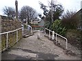
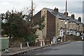
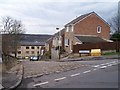
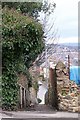
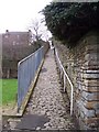
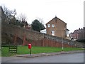
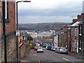
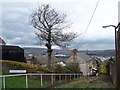
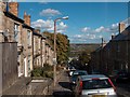
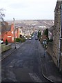
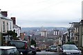
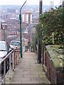
100 photos from this area
Area Information
Key information about the S6 3NF including its size, population, and administrative classification.
- Area Type
- Postcode
- Area Size
- 1.9 hectares
- Population
- 1591
- Population Density
- 7018 people/km²
House Prices in S6 3NF
29
Properties
£315,300
Average Sold Price
£26,000
Lowest Price
£820,000
Highest Price
Showing 29 properties
| Address | Type | Beds | Baths | Last Sale Price | Last Sale Date | |
|---|---|---|---|---|---|---|
| 130 Upperthorpe, Sheffield, S6 3NF | house | - | - | £515,000 | Nov 2025 | |
| 132 Upperthorpe, Sheffield, S6 3NF | house | - | - | £820,000 | Sep 2022 | |
| 162 Upperthorpe, Sheffield, S6 3NF | house | - | - | £310,000 | Apr 2021 | |
| 122 Upperthorpe, Sheffield, S6 3NF | Detached | 5 | 3 | £450,000 | Jul 2018 | |
| 136A Upperthorpe, Sheffield, S6 3NF | Semi-detached | 3 | - | £184,150 | Sep 2013 | |
| 138 Upperthorpe, Sheffield, S6 3NF | Detached | 3 | - | £341,000 | Jul 2013 | |
| 164 Upperthorpe, Sheffield, S6 3NF | Semi-detached | - | - | £285,000 | Jan 2006 | |
| 152 Upperthorpe, Sheffield, S6 3NF | Semi-detached | - | - | £245,250 | Jul 2005 | |
| 168 Upperthorpe, Sheffield, S6 3NF | house | - | - | £300,000 | Feb 2005 | |
| 166 Upperthorpe, Sheffield, S6 3NF | house | - | - | £300,000 | Aug 2004 |
Page 1 of 3
Energy Efficiency in S6 3NF
Amenities
Schools
| Rank | School | Type | Entry gender | Ages |
|---|
Explore more schools in this area
Go to Schools tabDemographics
Household Size
One person
most common
Accommodation Type
Houses
most common
Tenure
43
majority
Ethnic Group
White
most common
Religion
N/A
most common
Household Composition
N/A
most common
Age
47
median
Adults (30-64 years)
most common
Household Deprivation
N/A
with no deprivation
NS-SEC
31
in Lower managerial occupations
Explore more demographic insights in this area
Go to Demographics tabPlanning
Planning Constraints
- Flood RiskPremium
- Ramsar Wetland SitesPremium
- Area of Outstanding Natural BeautyPremium
- Protected Nature ReservePremium
- Protected WoodlandPremium