Area Overview for S35 9XB
Photos of S35 9XB
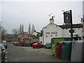

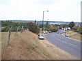
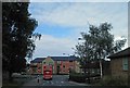
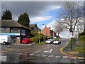
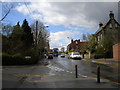

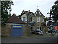
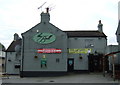
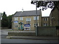
15 photos from this area
Area Information
Key information about the S35 9XB including its size, population, and administrative classification.
- Area Type
- Postcode
- Area Size
- 8245 m²
- Population
- 1522
- Population Density
- 3987 people/km²
House Prices in S35 9XB
27
Properties
£164,343
Average Sold Price
£21,000
Lowest Price
£345,000
Highest Price
Showing 27 properties
| Address | Type | Beds | Baths | Last Sale Price | Last Sale Date | |
|---|---|---|---|---|---|---|
| 245 High Street, Ecclesfield, Sheffield, S35 9XB | house | - | - | £345,000 | Aug 2023 | |
| 211 High Street, Ecclesfield, Sheffield, S35 9XB | house | - | - | £242,500 | Apr 2023 | |
| 217 High Street, Ecclesfield, Sheffield, S35 9XB | house | - | - | £272,500 | Oct 2022 | |
| 209 High Street, Ecclesfield, Sheffield, S35 9XB | house | - | - | £267,500 | Sep 2022 | |
| 213 High Street, Ecclesfield, Sheffield, S35 9XB | house | - | - | £267,500 | Jul 2022 | |
| 239 High Street, Ecclesfield, Sheffield, S35 9XB | Cottage | 3 | 1 | £182,500 | Sep 2018 | |
| 309 High Street, Ecclesfield, Sheffield, S35 9XB | Detached | 4 | 2 | £225,000 | May 2017 | |
| 241 High Street, Ecclesfield, Sheffield, S35 9XB | Semi-detached | 3 | 1 | £155,000 | Feb 2017 | |
| 223 High Street, Ecclesfield, Sheffield, S35 9XB | house | - | - | £140,000 | Jul 2016 | |
| 233 High Street, Ecclesfield, Sheffield, S35 9XB | house | - | - | £78,000 | Nov 2015 |
Page 1 of 3
Energy Efficiency in S35 9XB
Amenities
Schools
| Rank | School | Type | Entry gender | Ages |
|---|
Explore more schools in this area
Go to Schools tabDemographics
Household Size
Two person
most common
Accommodation Type
Houses
most common
Tenure
68
majority
Ethnic Group
White
most common
Religion
N/A
most common
Household Composition
N/A
most common
Age
47
median
Adults (30-64 years)
most common
Household Deprivation
N/A
with no deprivation
NS-SEC
25
in Lower managerial occupations
Explore more demographic insights in this area
Go to Demographics tabPlanning
Planning Constraints
- Flood RiskPremium
- Ramsar Wetland SitesPremium
- Area of Outstanding Natural BeautyPremium
- Protected Nature ReservePremium
- Protected WoodlandPremium