Area Overview for S35 0GP
Photos of S35 0GP
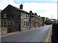
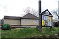
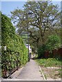
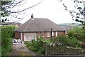
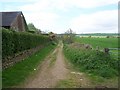
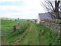
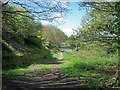
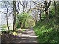
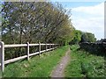
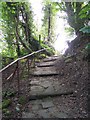
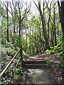
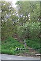
100 photos from this area
Area Information
Key information about the S35 0GP including its size, population, and administrative classification.
- Area Type
- Postcode
- Area Size
- 1.3 hectares
- Population
- 1868
- Population Density
- 3334 people/km²
House Prices in S35 0GP
20
Properties
£184,650
Average Sold Price
£49,950
Lowest Price
£366,000
Highest Price
Showing 20 properties
| Address | Type | Beds | Baths | Last Sale Price | Last Sale Date | |
|---|---|---|---|---|---|---|
| 56 Haggstones Road, Sheffield, S35 0GP | Semi-detached | 3 | 1 | £290,000 | Jul 2023 | |
| 38 Haggstones Road, Sheffield, S35 0GP | Retail | 3 | 2 | £366,000 | Nov 2022 | |
| 46 Haggstones Road, Sheffield, S35 0GP | Semi-detached | 2 | - | £194,950 | Aug 2018 | |
| 48 Haggstones Road, Sheffield, S35 0GP | Semi-detached | 3 | 1 | £172,000 | Nov 2017 | |
| 36 Haggstones Road, Sheffield, S35 0GP | Semi-detached | 3 | - | £156,000 | Oct 2014 | |
| 20 Haggstones Road, Sheffield, S35 0GP | house | - | - | £128,000 | Nov 2011 | |
| 32 Haggstones Road, Sheffield, S35 0GP | house | 3 | - | £125,000 | Mar 2011 | |
| 50 Haggstones Road, Sheffield, S35 0GP | house | - | - | £228,000 | Nov 2009 | |
| 18 Haggstones Road, Sheffield, S35 0GP | Terraced | - | - | £150,000 | May 2008 | |
| 34 Haggstones Road, Sheffield, S35 0GP | Detached | - | - | £177,950 | May 2007 |
Page 1 of 2
Energy Efficiency in S35 0GP
Amenities
Schools
| Rank | School | Type | Entry gender | Ages |
|---|
Explore more schools in this area
Go to Schools tabDemographics
Household Size
One person
most common
Accommodation Type
Houses
most common
Tenure
69
majority
Ethnic Group
White
most common
Religion
N/A
most common
Household Composition
N/A
most common
Age
47
median
Adults (30-64 years)
most common
Household Deprivation
N/A
with no deprivation
NS-SEC
41
in Lower managerial occupations
Explore more demographic insights in this area
Go to Demographics tabPlanning
Planning Constraints
- Flood RiskPremium
- Ramsar Wetland SitesPremium
- Area of Outstanding Natural BeautyPremium
- Protected Nature ReservePremium
- Protected WoodlandPremium