Area Overview for S35 0FT
Photos of S35 0FT
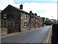
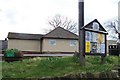
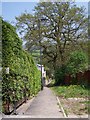
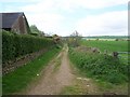
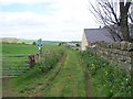
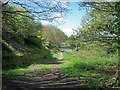
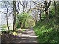
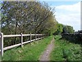
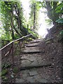
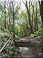
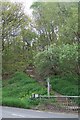
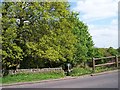
100 photos from this area
Area Information
Key information about the S35 0FT including its size, population, and administrative classification.
- Area Type
- Postcode
- Area Size
- 22.4 hectares
- Population
- 1804
- Population Density
- 15 people/km²
House Prices in S35 0FT
28
Properties
£207,605
Average Sold Price
£45,500
Lowest Price
£494,999
Highest Price
Showing 28 properties
| Address | Type | Beds | Baths | Last Sale Price | Last Sale Date | |
|---|---|---|---|---|---|---|
| 5 Burton Lane, Sheffield, S35 0FT | house | - | - | £220,000 | Jul 2023 | |
| 3 Burton Lane, Sheffield, S35 0FT | house | - | - | £159,000 | Jan 2023 | |
| 11 Burton Lane, Sheffield, S35 0FT | Retail | 2 | 1 | £180,000 | Oct 2022 | |
| 19 Burton Lane, Sheffield, S35 0FT | house | - | - | £140,000 | Sep 2021 | |
| 8 Burton Lane, Sheffield, S35 0FT | Bungalow | 3 | 1 | £360,000 | Jul 2020 | |
| 15 Burton Lane, Sheffield, S35 0FT | house | 3 | 2 | £206,500 | Oct 2019 | |
| Gatebank Bungalow, 71 Burton Lane, Sheffield, S35 0FT | Bungalow | 4 | 2 | £494,999 | Jan 2012 | |
| 27 Burton Lane, Sheffield, S35 0FT | house | - | - | £99,950 | May 2005 | |
| 4 Burton Lane, Sheffield, S35 0FT | Detached | - | - | £170,100 | Dec 2003 | |
| 23 Burton Lane, Sheffield, S35 0FT | Terraced | 2 | 1 | £45,500 | Jan 2002 |
Page 1 of 3
Energy Efficiency in S35 0FT
Amenities
Schools
| Rank | School | Type | Entry gender | Ages |
|---|
Explore more schools in this area
Go to Schools tabDemographics
Household Size
Two person
most common
Accommodation Type
Houses
most common
Tenure
78
majority
Ethnic Group
White
most common
Religion
N/A
most common
Household Composition
N/A
most common
Age
47
median
Adults (30-64 years)
most common
Household Deprivation
N/A
with no deprivation
NS-SEC
45
in Lower managerial occupations
Explore more demographic insights in this area
Go to Demographics tabPlanning
Planning Constraints
- Flood RiskPremium
- Ramsar Wetland SitesPremium
- Area of Outstanding Natural BeautyPremium
- Protected Nature ReservePremium
- Protected WoodlandPremium