Area Overview for S10 2DG
Photos of S10 2DG
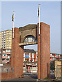
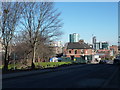
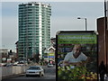
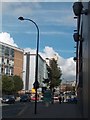

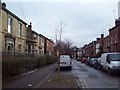
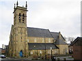
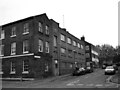
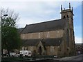
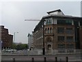
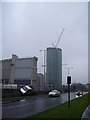
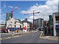
100 photos from this area
Area Information
Key information about the S10 2DG including its size, population, and administrative classification.
- Area Type
- Postcode
- Area Size
- 1.6 hectares
- Population
- 1508
- Population Density
- 10087 people/km²
House Prices in S10 2DG
36
Properties
£363,000
Average Sold Price
£226,000
Lowest Price
£500,000
Highest Price
Showing 36 properties
| Address | Type | Beds | Baths | Last Sale Price | Last Sale Date | |
|---|---|---|---|---|---|---|
| Sunnybank House, 43 Broomhall Place, Sheffield, S10 2DG | house | - | - | £500,000 | Jun 2021 | |
| Penrhyn House, 44 Broomhall Place, Sheffield, S10 2DG | house | - | - | £226,000 | Sep 1997 | |
| 32 Broomhall Place, Sheffield, S10 2DG | undefined | - | - | - | - | |
| 36-38 Broomhall Place, Sheffield, S10 2DG | Detached | - | - | - | - | |
| Site Of 41, Broomhall Place, Sheffield, S10 2DG | undefined | - | - | - | - | |
| 38 Broomhall Place, Sheffield, S10 2DG | house | - | - | - | - | |
| 36 Broomhall Place, Sheffield, S10 2DG | house | - | - | - | - | |
| 25 Broomhall Place, Sheffield, S10 2DG | house | - | - | - | - | |
| 34 Broomhall Place, Sheffield, S10 2DG | Terraced | 7 | 2 | - | - | |
| 16 Broomhall Place, Sheffield, S10 2DG | Flat | - | - | - | - |
Page 1 of 4
Energy Efficiency in S10 2DG
Amenities
Schools
| Rank | School | Type | Entry gender | Ages |
|---|
Explore more schools in this area
Go to Schools tabDemographics
Household Size
One person
most common
Accommodation Type
Houses
most common
Tenure
16
majority
Ethnic Group
White
most common
Religion
N/A
most common
Household Composition
N/A
most common
Age
22
median
Young Adults (15-29 years)
most common
Household Deprivation
N/A
with no deprivation
NS-SEC
15
in Lower managerial occupations
Explore more demographic insights in this area
Go to Demographics tabPlanning
Planning Constraints
- Flood RiskPremium
- Ramsar Wetland SitesPremium
- Area of Outstanding Natural BeautyPremium
- Protected Nature ReservePremium
- Protected WoodlandPremium