Area Overview for S3 7SQ
Photos of S3 7SQ
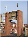
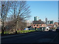
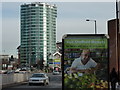
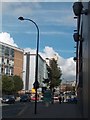
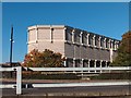
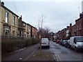
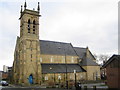
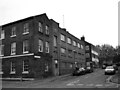
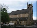
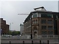
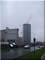
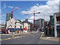
100 photos from this area
Area Information
Key information about the S3 7SQ including its size, population, and administrative classification.
- Area Type
- Postcode
- Area Size
- 6520 m²
- Population
- 2708
- Population Density
- 8752 people/km²
House Prices in S3 7SQ
33
Properties
£232,667
Average Sold Price
£47,500
Lowest Price
£377,000
Highest Price
Showing 33 properties
| Address | Type | Beds | Baths | Last Sale Price | Last Sale Date | |
|---|---|---|---|---|---|---|
| 194 Broomhall Street, Sheffield, S3 7SQ | Terraced | 5 | 2 | £275,000 | Jul 2023 | |
| 196 BROOMHALL STREET, Sheffield, S3 7SQ | Terraced | 6 | 2 | £275,000 | Jul 2023 | |
| Stratford House, 234 Broomhall Street, Sheffield, S3 7SQ | house | - | - | £377,000 | Mar 2022 | |
| 192 Broomhall Street, Sheffield, S3 7SQ | Terraced | 6 | 2 | £321,500 | Jul 2016 | |
| 228 Broomhall Street, Sheffield, S3 7SQ | Terraced | 4 | 3 | £100,000 | Dec 2000 | |
| 230 Broomhall Street, Sheffield, S3 7SQ | house | - | - | £47,500 | Mar 1999 | |
| Rear Of 192, Broomhall Street, Sheffield, S3 7SQ | undefined | - | - | - | - | |
| First Floor, 200 Broomhall Street, Sheffield, S3 7SQ | undefined | - | - | - | - | |
| Unit 5, Porter Brook Mews, 210-212 Broomhall Street, Sheffield, S3 7SQ | undefined | - | - | - | - | |
| Unit 2, Porter Brook Mews, 210-212 Broomhall Street, Sheffield, S3 7SQ | undefined | - | - | - | - |
Page 1 of 4
Energy Efficiency in S3 7SQ
Amenities
Schools
| Rank | School | Type | Entry gender | Ages |
|---|
Explore more schools in this area
Go to Schools tabDemographics
Household Size
One person
most common
Accommodation Type
Flats
most common
Tenure
10
majority
Ethnic Group
White
most common
Religion
N/A
most common
Household Composition
N/A
most common
Age
22
median
Young Adults (15-29 years)
most common
Household Deprivation
N/A
with no deprivation
NS-SEC
9
in Lower managerial occupations
Explore more demographic insights in this area
Go to Demographics tabPlanning
Planning Constraints
- Flood RiskPremium
- Ramsar Wetland SitesPremium
- Area of Outstanding Natural BeautyPremium
- Protected Nature ReservePremium
- Protected WoodlandPremium