Area Overview for LS29 0PL
Photos of LS29 0PL
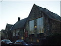
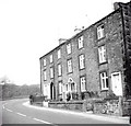
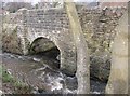
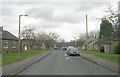
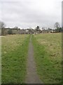
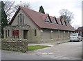
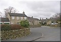
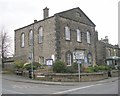
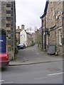
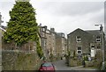
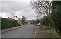
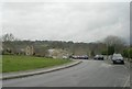
100 photos from this area
Area Information
Key information about the LS29 0PL including its size, population, and administrative classification.
- Area Type
- Postcode
- Area Size
- 9283 m²
- Population
- 1057
- Population Density
- 1182 people/km²
House Prices in LS29 0PL
28
Properties
£271,844
Average Sold Price
£40,000
Lowest Price
£845,000
Highest Price
Showing 28 properties
| Address | Type | Beds | Baths | Last Sale Price | Last Sale Date | |
|---|---|---|---|---|---|---|
| 28 Main Street, Addingham, LS29 0PL | house | - | - | £350,000 | Mar 2025 | |
| 76 Main Street, Addingham, LS29 0PL | house | - | - | £375,000 | Jun 2021 | |
| 46A Main Street, Addingham, LS29 0PL | Detached | - | - | £450,000 | Nov 2020 | |
| 46 Main Street, Addingham, LS29 0PL | Detached | 5 | 3 | £845,000 | Jan 2020 | |
| 34 Main Street, Addingham, LS29 0PL | house | - | - | £305,000 | May 2017 | |
| 40 Main Street, Addingham, LS29 0PL | house | - | - | £350,000 | May 2017 | |
| 78 Main Street, Addingham, LS29 0PL | house | - | - | £220,000 | Jun 2015 | |
| 48A Main Street, Addingham, LS29 0PL | Terraced | 2 | 1 | £200,000 | Nov 2014 | |
| 30 Main Street, Addingham, LS29 0PL | Terraced | 3 | 2 | £250,000 | Aug 2012 | |
| 44 Main Street, Addingham, LS29 0PL | Terraced | - | - | £355,000 | Aug 2005 |
Page 1 of 3
Energy Efficiency in LS29 0PL
Amenities
Schools
| Rank | School | Type | Entry gender | Ages |
|---|
Explore more schools in this area
Go to Schools tabDemographics
Household Size
One person
most common
Accommodation Type
Houses
most common
Tenure
70
majority
Ethnic Group
White
most common
Religion
N/A
most common
Household Composition
N/A
most common
Age
47
median
Adults (30-64 years)
most common
Household Deprivation
N/A
with no deprivation
NS-SEC
43
in Lower managerial occupations
Explore more demographic insights in this area
Go to Demographics tabPlanning
Planning Constraints
- Flood RiskPremium
- Ramsar Wetland SitesPremium
- Area of Outstanding Natural BeautyPremium
- Protected Nature ReservePremium
- Protected WoodlandPremium