Area Overview for LS28 5UG
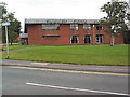
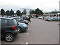
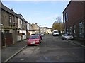
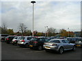
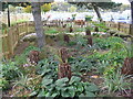
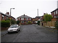
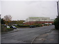
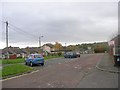
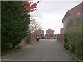
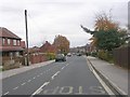
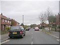
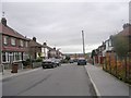
Photos of LS28 5UG
Area Information
LS28 5UG is a small residential postcode area in west Leeds, nestled within the Calverley and Farsley electoral ward. Covering 5,601 square metres, it is a compact cluster of homes with a population of 1,581 people, translating to a dense population of 282,256 per square kilometre. This area sits on the A657 road, approximately ten miles from Leeds city centre and four miles from Bradford. Its history is steeped in rural tradition, with landmarks like Calverley Old Hall, a 14th-century manor house, and Calverley Cutting, a 19th-century sandstone road. Daily life here is shaped by proximity to retail hubs, rail networks, and two major airports. The community is predominantly middle-aged, with 73% owning their homes, and the area is characterised by a mix of local amenities and historical heritage. Living in LS28 5UG offers a blend of practical convenience and historical interest, though its small size means residents rely on nearby towns for broader services.
- Area Type
- Postcode
- Area Size
- 5601 m²
- Population
- 1581
- Population Density
- 6844 people/km²
The property market in LS28 5UG is dominated by owner-occupied homes, with 73% of residents living in properties they own. The area is primarily composed of houses rather than flats, reflecting a more traditional, family-oriented housing stock. Given the small size of the postcode and its integration into the larger Calverley and Farsley ward, the housing stock is likely limited in scale but may offer characterful properties, particularly near historical sites like Calverley Old Hall. The high home ownership rate suggests a market where long-term residency is common, though buyers should consider the area’s compact nature and reliance on nearby towns for additional amenities.
House Prices in LS28 5UG
Showing 19 properties
| Address | Type | Beds | Baths | Last Sale Price | Last Sale Date | |
|---|---|---|---|---|---|---|
| 10 The Boulevard, Farsley, Pudsey, LS28 5UG | Flat | 1 | 1 | £115,000 | May 2025 | |
| 30 The Boulevard, Farsley, Pudsey, LS28 5UG | Flat | 1 | 1 | £114,000 | Jan 2025 | |
| 28 The Boulevard, Farsley, Pudsey, LS28 5UG | Flat | - | - | £122,500 | Oct 2024 | |
| 4 The Boulevard, Farsley, Pudsey, LS28 5UG | Flat | - | - | £123,500 | Oct 2023 | |
| 1 The Boulevard, Farsley, Pudsey, LS28 5UG | Bungalow | 4 | 3 | £575,000 | Dec 2022 | |
| 2 The Boulevard, Farsley, Pudsey, LS28 5UG | Flat | - | - | £95,000 | Feb 2021 | |
| 16 The Boulevard, Farsley, Pudsey, LS28 5UG | Flat | - | - | £70,000 | May 2018 | |
| 20 The Boulevard, Farsley, Pudsey, LS28 5UG | Flat | - | - | £92,000 | Mar 2016 | |
| Parkview House, 34 The Boulevard, Farsley, Pudsey, LS28 5UG | Detached | 4 | 3 | £320,000 | Apr 2015 | |
| 12 The Boulevard, Farsley, Pudsey, LS28 5UG | Flat | - | - | £91,000 | May 2011 |
Energy Efficiency in LS28 5UG
LS28 5UG offers a range of practical amenities within easy reach. Retail options include five stores such as Co-op Farsley, Lidl Bramley, and Asda Pudsey, catering to daily shopping needs. The five nearby railway stations, including New Pudsey and Bramley, provide convenient access to commuting and travel. Two airports, Leeds Bradford Airport and Leeds Bradford International Airport, are within reach, enhancing connectivity for business and leisure travel. While the area lacks detailed information on parks or leisure facilities, its proximity to the A657 road and rail networks suggests a lifestyle focused on practicality and accessibility, with historical landmarks like Calverley Old Hall adding cultural depth.
Amenities
Schools
The nearest school to LS28 5UG is Farsley Westroyd Primary School and Nursery, which is rated “good” by Ofsted. This primary school serves the local community, offering education for younger children. The absence of secondary schools in the immediate area means families may need to look further afield for secondary education, potentially increasing travel time. However, the presence of a well-rated primary school is a positive for families prioritising early education. The school’s rating indicates a satisfactory standard of teaching and facilities, though parents should consider the broader educational landscape beyond LS28 5UG.
| Rank | School | Type | Entry gender | Ages |
|---|
Explore more schools in this area
Go to Schools tabDemographics
The population of LS28 5UG has a median age of 47, with the majority of residents aged 30–64. This suggests a mature, stable community, likely with a high proportion of families and professionals. Home ownership is strong, at 73%, with houses being the primary accommodation type. The predominant ethnic group is White, making up the vast majority of the population. The ward’s deprivation ranking places it near the bottom of Leeds for deprivation, indicating that many residents live in the mid-range of deprivation. This means access to services and opportunities may be limited compared to more affluent areas. However, the high home ownership rate and age profile suggest a community with established roots and a focus on long-term stability.
Household Size
Accommodation Type
Tenure
Ethnic Group
Religion
Household Composition
Age
Household Deprivation
NS-SEC
Explore more demographic insights in this area
Go to Demographics tabPlanning
Planning Constraints
- Flood RiskPremium
- Ramsar Wetland SitesPremium
- Area of Outstanding Natural BeautyPremium
- Protected Nature ReservePremium
- Protected WoodlandPremium