Area Overview for LS27 8DJ
Photos of LS27 8DJ
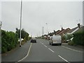
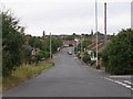
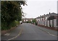
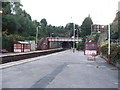
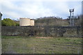
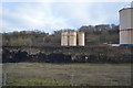
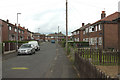
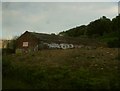
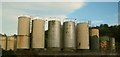

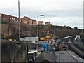
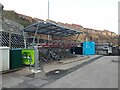
72 photos from this area
Area Information
Key information about the LS27 8DJ including its size, population, and administrative classification.
- Area Type
- Postcode
- Area Size
- 2.7 hectares
- Population
- 2113
- Population Density
- 5320 people/km²
House Prices in LS27 8DJ
27
Properties
£218,441
Average Sold Price
£90,000
Lowest Price
£495,000
Highest Price
Showing 27 properties
| Address | Type | Beds | Baths | Last Sale Price | Last Sale Date | |
|---|---|---|---|---|---|---|
| 15 Sandringham Close, Morley, LS27 8DJ | Detached | 5 | 3 | £350,000 | Apr 2023 | |
| 25 Sandringham Close, Morley, LS27 8DJ | Retail | 4 | 2 | £495,000 | Apr 2022 | |
| 5 Sandringham Close, Morley, LS27 8DJ | house | - | - | £399,995 | Dec 2020 | |
| 16 Sandringham Close, Morley, LS27 8DJ | Detached | 4 | 2 | £455,000 | Nov 2020 | |
| 19 Sandringham Close, Morley, LS27 8DJ | Detached | 6 | 3 | £305,000 | Jun 2018 | |
| 18 Sandringham Close, Morley, LS27 8DJ | Detached | 4 | 1 | £269,850 | Sep 2017 | |
| 20 Sandringham Close, Morley, LS27 8DJ | Detached | 4 | 2 | £264,950 | Jun 2017 | |
| 31 Sandringham Close, Morley, LS27 8DJ | Detached | 4 | - | £235,000 | Feb 2016 | |
| 33 Sandringham Close, Morley, LS27 8DJ | house | - | - | £195,000 | Sep 2012 | |
| 11 Sandringham Close, Morley, LS27 8DJ | Detached | 4 | 2 | £225,000 | Oct 2010 |
Page 1 of 3
Energy Efficiency in LS27 8DJ
Amenities
Schools
| Rank | School | Type | Entry gender | Ages |
|---|
Explore more schools in this area
Go to Schools tabDemographics
Household Size
Two person
most common
Accommodation Type
Houses
most common
Tenure
58
majority
Ethnic Group
White
most common
Religion
N/A
most common
Household Composition
N/A
most common
Age
47
median
Adults (30-64 years)
most common
Household Deprivation
N/A
with no deprivation
NS-SEC
38
in Lower managerial occupations
Explore more demographic insights in this area
Go to Demographics tabPlanning
Planning Constraints
- Flood RiskPremium
- Ramsar Wetland SitesPremium
- Area of Outstanding Natural BeautyPremium
- Protected Nature ReservePremium
- Protected WoodlandPremium