Area Overview for LS24 9HB
Photos of LS24 9HB
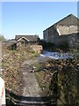


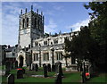


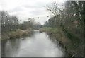
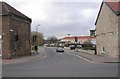
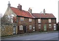
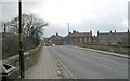
100 photos from this area
Area Information
Key information about the LS24 9HB including its size, population, and administrative classification.
- Area Type
- Postcode
- Area Size
- 3.6 hectares
- Population
- 1156
- Population Density
- 1171 people/km²
House Prices in LS24 9HB
22
Properties
£230,743
Average Sold Price
£97,500
Lowest Price
£500,000
Highest Price
Showing 22 properties
| Address | Type | Beds | Baths | Last Sale Price | Last Sale Date | |
|---|---|---|---|---|---|---|
| 39 Leeds Road, Tadcaster, LS24 9HB | Flat | - | - | £175,000 | Oct 2022 | |
| 48 Leeds Road, Tadcaster, LS24 9HB | house | - | - | £240,000 | Mar 2021 | |
| 29 Leeds Road, Tadcaster, LS24 9HB | house | 4 | - | £300,000 | Aug 2018 | |
| 50 Leeds Road, Tadcaster, LS24 9HB | Semi-detached | 3 | - | £162,750 | Mar 2013 | |
| 54 Leeds Road, Tadcaster, LS24 9HB | house | - | - | £139,950 | Feb 2013 | |
| 36 Leeds Road, Tadcaster, LS24 9HB | house | - | - | £500,000 | Apr 2009 | |
| 35 Leeds Road, Tadcaster, LS24 9HB | Flat | - | - | £97,500 | Nov 2005 | |
| 16 Leeds Road, Tadcaster, LS24 9HB | house | - | - | - | - | |
| 22 Leeds Road, Tadcaster, LS24 9HB | house | - | - | - | - | |
| 37 Leeds Road, Tadcaster, LS24 9HB | Flat | 2 | 1 | - | - |
Page 1 of 3
Energy Efficiency in LS24 9HB
Amenities
Schools
| Rank | School | Type | Entry gender | Ages |
|---|
Explore more schools in this area
Go to Schools tabDemographics
Household Size
One person
most common
Accommodation Type
Houses
most common
Tenure
67
majority
Ethnic Group
White
most common
Religion
N/A
most common
Household Composition
N/A
most common
Age
47
median
Adults (30-64 years)
most common
Household Deprivation
N/A
with no deprivation
NS-SEC
36
in Lower managerial occupations
Explore more demographic insights in this area
Go to Demographics tabPlanning
Planning Constraints
- Flood RiskPremium
- Ramsar Wetland SitesPremium
- Area of Outstanding Natural BeautyPremium
- Protected Nature ReservePremium
- Protected WoodlandPremium