Area Overview for LS22 6SL
Photos of LS22 6SL
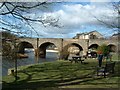
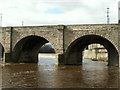
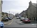
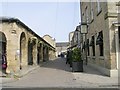
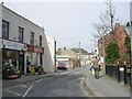
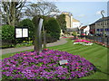
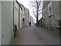
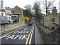
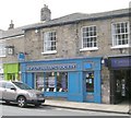
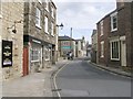
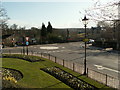
100 photos from this area
Area Information
Key information about the LS22 6SL including its size, population, and administrative classification.
- Area Type
- Postcode
- Area Size
- 1.3 hectares
- Population
- 2229
- Population Density
- 338 people/km²
House Prices in LS22 6SL
36
Properties
£174,750
Average Sold Price
£107,000
Lowest Price
£242,500
Highest Price
Showing 36 properties
| Address | Type | Beds | Baths | Last Sale Price | Last Sale Date | |
|---|---|---|---|---|---|---|
| 48A York Road, Wetherby, LS22 6SL | Detached | 4 | 1 | £242,500 | Aug 2013 | |
| 48 York Road, Wetherby, LS22 6SL | Detached | 4 | 3 | £107,000 | Mar 2000 | |
| 28 York Road, Wetherby, LS22 6SL | Retirement | 2 | 2 | - | - | |
| 42 York Road, Wetherby, LS22 6SL | Retirement | 1 | 1 | - | - | |
| Rwb Estimating Services Ltd, Office B, 14-18 York Road, Wetherby, LS22 6SL | Office | - | - | - | - | |
| Iled Media Ltd, Office 5, 14-18 York Road, Wetherby, LS22 6SL | Office | - | - | - | - | |
| Office 3, 14-18 York Road, Wetherby, LS22 6SL | Office | - | - | - | - | |
| Hearts At Homecare Ltd, Office 4, 14-18 York Road, Wetherby, LS22 6SL | Office | - | - | - | - | |
| Wetherby Business Centre Llp, Office Z, 14-18 York Road, Wetherby, LS22 6SL | office_workshop | - | - | - | - | |
| 44 York Road, Wetherby, LS22 6SL | house | - | - | - | - |
Page 1 of 4
Energy Efficiency in LS22 6SL
Amenities
Schools
| Rank | School | Type | Entry gender | Ages |
|---|
Explore more schools in this area
Go to Schools tabDemographics
Household Size
One person
most common
Accommodation Type
Houses
most common
Tenure
56
majority
Ethnic Group
White
most common
Religion
N/A
most common
Household Composition
N/A
most common
Age
47
median
Adults (30-64 years)
most common
Household Deprivation
N/A
with no deprivation
NS-SEC
39
in Lower managerial occupations
Explore more demographic insights in this area
Go to Demographics tabPlanning
Planning Constraints
- Flood RiskPremium
- Ramsar Wetland SitesPremium
- Area of Outstanding Natural BeautyPremium
- Protected Nature ReservePremium
- Protected WoodlandPremium