Area Overview for LS19 7LY
Photos of LS19 7LY
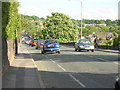
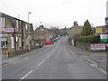

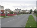
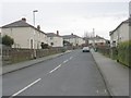
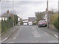
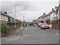
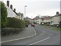
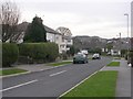


100 photos from this area
Area Information
Key information about the LS19 7LY including its size, population, and administrative classification.
- Area Type
- Postcode
- Area Size
- 8939 m²
- Population
- 1411
- Population Density
- 4791 people/km²
House Prices in LS19 7LY
30
Properties
£185,796
Average Sold Price
£59,950
Lowest Price
£331,111
Highest Price
Showing 30 properties
| Address | Type | Beds | Baths | Last Sale Price | Last Sale Date | |
|---|---|---|---|---|---|---|
| 20 Whack House Lane, Yeadon, Leeds, LS19 7LY | Semi-detached | 2 | 1 | £250,000 | Sep 2024 | |
| 9 Whack House Lane, Yeadon, Leeds, LS19 7LY | house | - | - | £175,000 | Nov 2022 | |
| 16 Whack House Lane, Yeadon, Leeds, LS19 7LY | Terraced | 3 | 1 | £331,111 | Sep 2022 | |
| 8 Whack House Lane, Yeadon, Leeds, LS19 7LY | Terraced | 3 | 1 | £255,000 | May 2022 | |
| 19 Whack House Lane, Yeadon, Leeds, LS19 7LY | house | - | - | £250,000 | Jan 2022 | |
| 2 Whack House Lane, Yeadon, Leeds, LS19 7LY | Terraced | 5 | - | £237,950 | Jun 2021 | |
| 5 Whack House Lane, Yeadon, Leeds, LS19 7LY | house | 4 | - | £220,000 | Apr 2021 | |
| 7 Whack House Lane, Yeadon, Leeds, LS19 7LY | Terraced | 3 | 1 | £235,000 | Mar 2021 | |
| 18 Whack House Lane, Yeadon, Leeds, LS19 7LY | Terraced | 3 | 1 | £219,950 | Jan 2021 | |
| 6 Whack House Lane, Yeadon, Leeds, LS19 7LY | Terraced | 3 | 1 | £199,950 | Sep 2020 |
Page 1 of 3
Energy Efficiency in LS19 7LY
Amenities
Schools
| Rank | School | Type | Entry gender | Ages |
|---|
Explore more schools in this area
Go to Schools tabDemographics
Household Size
Two person
most common
Accommodation Type
Houses
most common
Tenure
73
majority
Ethnic Group
White
most common
Religion
N/A
most common
Household Composition
N/A
most common
Age
47
median
Adults (30-64 years)
most common
Household Deprivation
N/A
with no deprivation
NS-SEC
34
in Lower managerial occupations
Explore more demographic insights in this area
Go to Demographics tabPlanning
Planning Constraints
- Flood RiskPremium
- Ramsar Wetland SitesPremium
- Area of Outstanding Natural BeautyPremium
- Protected Nature ReservePremium
- Protected WoodlandPremium