Area Overview for LS19 7JU
Photos of LS19 7JU
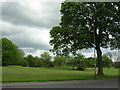
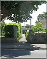
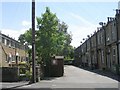
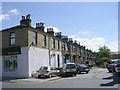
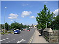
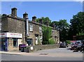
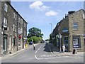
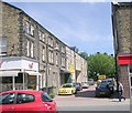
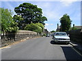
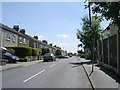
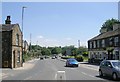
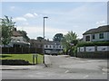
100 photos from this area
Area Information
Key information about the LS19 7JU including its size, population, and administrative classification.
- Area Type
- Postcode
- Area Size
- 1.8 hectares
- Population
- 1411
- Population Density
- 4791 people/km²
House Prices in LS19 7JU
70
Properties
£144,539
Average Sold Price
£32,500
Lowest Price
£325,000
Highest Price
Showing 70 properties
| Address | Type | Beds | Baths | Last Sale Price | Last Sale Date | |
|---|---|---|---|---|---|---|
| 36 Redwood Way, Yeadon, Leeds, LS19 7JU | Flat | 1 | 1 | £75,000 | May 2025 | |
| 72 Redwood Way, Yeadon, Leeds, LS19 7JU | Detached | 3 | 1 | £272,450 | Feb 2025 | |
| 1 Redwood Way, Yeadon, Leeds, LS19 7JU | Bungalow | 2 | 1 | £260,000 | Aug 2024 | |
| 37 Redwood Way, Yeadon, Leeds, LS19 7JU | Flat | 2 | 1 | £123,000 | Feb 2024 | |
| 33 Redwood Way, Yeadon, Leeds, LS19 7JU | Flat | - | - | £147,500 | Dec 2023 | |
| 39 Redwood Way, Yeadon, Leeds, LS19 7JU | Flat | - | - | £129,995 | Oct 2023 | |
| 57 Redwood Way, Yeadon, Leeds, LS19 7JU | Flat | 2 | 1 | £170,000 | Oct 2023 | |
| 9 Redwood Way, Yeadon, Leeds, LS19 7JU | Detached | 3 | 1 | £280,000 | Sep 2023 | |
| 60 Redwood Way, Yeadon, Leeds, LS19 7JU | Flat | - | - | £61,000 | Nov 2022 | |
| 53 Redwood Way, Yeadon, Leeds, LS19 7JU | Flat | 2 | 1 | £115,000 | Aug 2022 |
Page 1 of 7
Energy Efficiency in LS19 7JU
Amenities
Schools
| Rank | School | Type | Entry gender | Ages |
|---|
Explore more schools in this area
Go to Schools tabDemographics
Household Size
Two person
most common
Accommodation Type
Houses
most common
Tenure
73
majority
Ethnic Group
White
most common
Religion
N/A
most common
Household Composition
N/A
most common
Age
47
median
Adults (30-64 years)
most common
Household Deprivation
N/A
with no deprivation
NS-SEC
34
in Lower managerial occupations
Explore more demographic insights in this area
Go to Demographics tabPlanning
Planning Constraints
- Flood RiskPremium
- Ramsar Wetland SitesPremium
- Area of Outstanding Natural BeautyPremium
- Protected Nature ReservePremium
- Protected WoodlandPremium