Area Overview for LS18 4GP
Photos of LS18 4GP
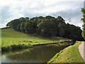
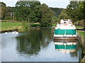
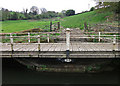
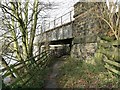
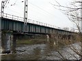
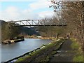
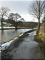
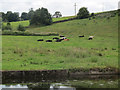
99 photos from this area
Area Information
Key information about the LS18 4GP including its size, population, and administrative classification.
- Area Type
- Postcode
- Area Size
- 1.6 hectares
- Population
- 2677
- Population Density
- 1623 people/km²
House Prices in LS18 4GP
30
Properties
£375,491
Average Sold Price
£72,248
Lowest Price
£600,000
Highest Price
Showing 30 properties
| Address | Type | Beds | Baths | Last Sale Price | Last Sale Date | |
|---|---|---|---|---|---|---|
| 8 Riverside View, Horsforth, Leeds, LS18 4GP | house | - | - | £597,500 | May 2025 | |
| 10 Riverside View, Horsforth, Leeds, LS18 4GP | Detached | 4 | 2 | £600,000 | May 2025 | |
| 26 Riverside View, Horsforth, Leeds, LS18 4GP | Detached | 4 | 2 | £575,000 | Nov 2023 | |
| 22 Riverside View, Horsforth, Leeds, LS18 4GP | Semi-detached | 4 | 2 | £480,000 | Oct 2023 | |
| 25 Riverside View, Horsforth, Leeds, LS18 4GP | Detached | 4 | 2 | £534,000 | May 2023 | |
| 2 Riverside View, Horsforth, Leeds, LS18 4GP | Detached | 3 | 2 | £450,000 | Jan 2023 | |
| 3 Riverside View, Horsforth, Leeds, LS18 4GP | Terraced | 3 | 1 | £405,000 | Mar 2021 | |
| 15 Riverside View, Horsforth, Leeds, LS18 4GP | house | - | - | £329,950 | Mar 2020 | |
| 11 Riverside View, Horsforth, Leeds, LS18 4GP | Semi-detached | 4 | 2 | £314,950 | Jan 2020 | |
| 9 Riverside View, Horsforth, Leeds, LS18 4GP | Terraced | 3 | 1 | £379,950 | Dec 2019 |
Page 1 of 3
Energy Efficiency in LS18 4GP
Amenities
Schools
| Rank | School | Type | Entry gender | Ages |
|---|
Explore more schools in this area
Go to Schools tabDemographics
Household Size
Family (3-5 people)
most common
Accommodation Type
Houses
most common
Tenure
90
majority
Ethnic Group
White
most common
Religion
N/A
most common
Household Composition
N/A
most common
Age
47
median
Adults (30-64 years)
most common
Household Deprivation
N/A
with no deprivation
NS-SEC
61
in Lower managerial occupations
Explore more demographic insights in this area
Go to Demographics tabPlanning
Planning Constraints
- Flood RiskPremium
- Ramsar Wetland SitesPremium
- Area of Outstanding Natural BeautyPremium
- Protected Nature ReservePremium
- Protected WoodlandPremium